Thunderstorms, hail and waterspouts possible as rain douses Southern California

- Share via
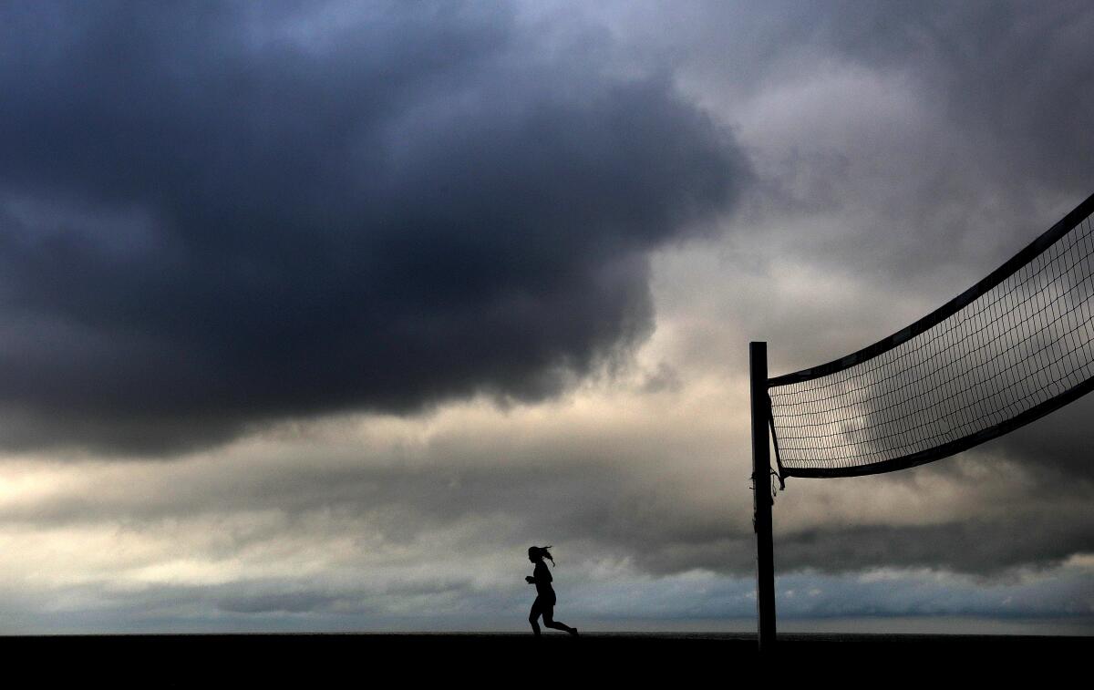
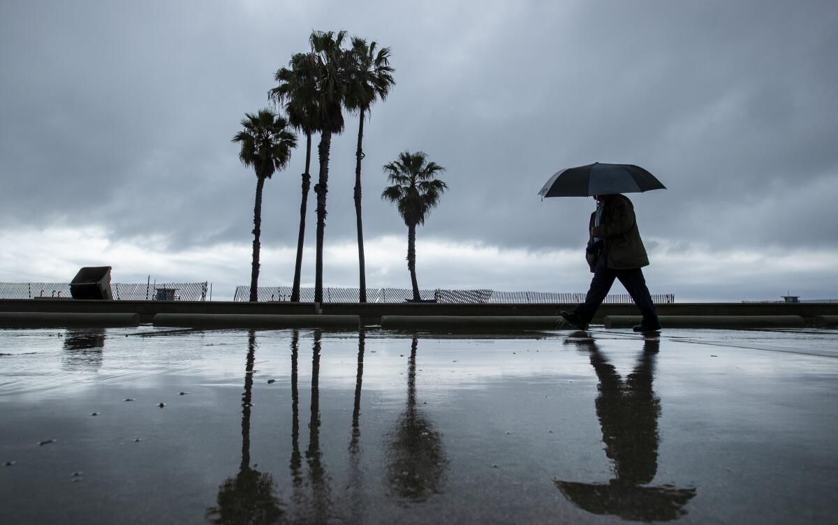
A slow-moving storm crept into Southern California overnight, bringing widespread showers that dampened the morning commute, slowing traffic across Los Angeles County early Tuesday and threatening to unleash thunderstorms across the area.
Rainfall thus far has been relatively light and spotty in coverage over land during the overnight and morning hours, but rain has been falling more steadily off the coast and several thunderstorms have been observed, according to an update from the National Weather Service at noon Tuesday.
As the storm moves to the east, thunderstorms were expected to come ashore Tuesday afternoon and evening.
“So in other words, the rain is still coming after a lackluster start to the day,” weather service meteorologist Ryan Kittell said in an email. Rain chances will continue into Friday.

The low-pressure system— fed by a plume of subtropical water vapor at the lower and middle levels of the atmosphere — is expected to bring 0.5 to 1.5 inches of rain to the coast and valleys of Los Angeles County, with up to 3 inches possible in the foothills and mountains through at least Wednesday, said Joe Sirard, a meteorologist with the National Weather Service in Oxnard.
So far, Avalon has received the bulk of the rain in Los Angeles County, with just under half an inch falling on Catalina Island. Downtown Los Angeles, Redondo Beach and Hawthorne received just over a tenth of an inch Tuesday morning.
Rainfall rates of up to an inch per hour are possible in the afternoon if thunderstorms materialize. The thunderstorms are capable of producing small hail, wind gusts up to 45 mph and dangerous lightning. Isolated waterspouts, which can come ashore as tornadoes, are also a possibility by the afternoon, Sirard said.

“The main concern really is there could be some urban flooding and ponding of water on roadways, which could make for some pretty hazardous driving conditions,” he said. “If people hear thunder, the best thing they can do to protect themselves is to go indoors. People should use common sense.”
Forecasters are also warning of minor mud and debris flows in recent burn areas and rockslides along mountain and canyon roadways, mainly across Santa Barbara County.
A previously forecast atmospheric river carrying the bulk of the subtropical moisture is expected to remain to the south of California, which will result in lower overall rainfall amounts than meteorologists had predicted earlier. The system will still tap into some of that moisture, but instead of consistent downpours typical of an atmospheric river, it’s more likely to result in widespread showers, forecasters said.
Snow levels are expected to drop to about 7,000 feet, with eight to 10 inches of snow possible at the “resort level” above 8,000 feet.
The rain from this storm is expected to taper off Wednesday evening, but scattered showers are possible through the rest of the week as another low-pressure system moves into the region Friday.
The rain appears to be just in time to help the region rebound from disappointing precipitation totals after a parched start to 2020. A high-pressure ridge that lingered over the eastern Pacific Ocean for much of January and February rerouted winter storms that typically soak California and the Pacific Northwest during what are usually the state’s wettest months.
A total of 0.04 inch of rain fell in downtown Los Angeles last month, placing it in a tie with February 1899 for the 10th-driest February on record. Downtown L.A. also had its fourth-driest combined January and February on record after just 0.36 inch fell during the first two months of 2020.
Forecasters and water managers keeping a close eye on precipitation are hopeful that a wet month, a phenomenon known by weather experts as a “miracle March,” may help bolster lackluster winter rain totals and help keep the state out of drought conditions.
More to Read
Sign up for Essential California
The most important California stories and recommendations in your inbox every morning.
You may occasionally receive promotional content from the Los Angeles Times.


