Opinion: Why hurricanes like Hilary have been so rare in California
- Share via
In an average summer, Palm Springs receives less than half an inch of rainfall. Between Saturday and Monday, it is predicted to receive 5 to 7 inches of rain (10 times the usual amount for three months in just three days) from Hurricane Hilary, which is rapidly intensifying off the coast of Puerto Vallarta. The storm is projected to strengthen to a Category 4 storm as it moves northwest before turning and making a beeline for Southern California.
Of course, as with any hurricane, there is some uncertainty as to Hilary’s path — in the so-called “spaghetti plot” that shows possible tracks the eye of the storm could pass west of Los Angeles and make landfall near San Luis Obispo, or it could make landfall in Baja California and dump most of its rain in western Arizona. But the models’ best guess (as of Friday morning) appears to be that the storm will pass almost directly over Los Angeles, delivering damaging winds and heavy rainfall in the region.
If this happens, it would be the first tropical storm to make landfall in the state since 1939, when a storm called El Cordonazo (“the lashing”) took a similar path around Baja California before scoring a direct hit on L.A. (A few hurricanes have impacted the state since, most notably Hurricane Kathleen in 1976, but those storms had all made landfall in Baja California first, causing them to weaken to tropical depressions.)
Hurricane Hilary is likely to make landfall in Los Angeles as a tropical storm, bringing heavy rains and potential flooding. Here’s what you can do now to prepare, and how to stay safe when the storm arrives.
What has kept the hurricanes away from California for so long? The answer lies in two factors that fend off hurricanes: cold sea surface temperatures and high vertical wind shear.
Cold sea surface temperatures suppress hurricane formation because hurricanes get their energy and moisture by evaporating surface waters, which is much harder to do when the water is cold. Because of ocean currents, the waters of the eastern Pacific are far colder — by as much as 9 degrees — than the same latitude in the western Pacific or the Gulf of Mexico.
Vertical wind shear is a term for the change in wind speed and direction as you travel up from the Earth’s surface, which is important because hurricanes extend almost 10 miles into the atmosphere. If you imagine trying to transport a 50,000-foot-tall skyscraper on a ship, you can see why the change in wind speed matters: If the winds are consistent throughout an atmospheric column, then the skyscraper will just act as a sail and your skyscraper will remain standing, but if the winds are blowing stronger at the top than the bottom, the skyscraper will topple over. Typically, wind shear is much stronger in the eastern Pacific than in the western Pacific or the Gulf of Mexico, providing yet another reason why hurricanes struggle to form.
Finally, hurricanes are guided by winds, and in the tropical regions where hurricanes form these winds tend to travel from east to west, blowing hurricanes into the eastern coasts of Asia and North America but not into western coasts.
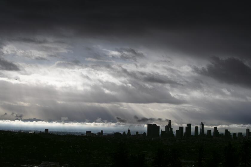
An unprecedented tropical storm warning is in effect from the California-Mexico border to Point Mugu and for Catalina Island.
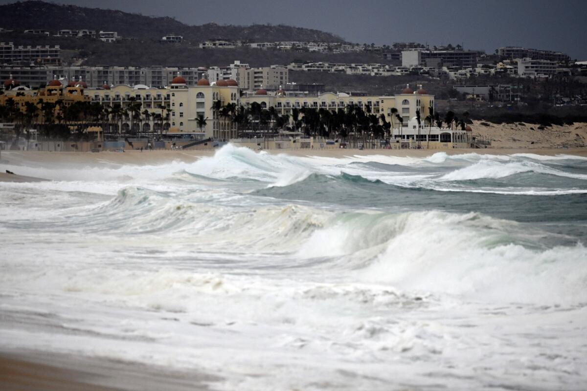
So why has Hurricane Hilary grown stronger given the conditions of the eastern Pacific? Mostly because current conditions are not as hostile to hurricanes as usual. July was the hottest month in recorded history, and since the Earth’s surface is mostly water, a lot of that heat has gone into the oceans. At the moment, the waters around Cabo San Lucas are 88.3 degrees — more than 4 degrees hotter than normal and basically the same temperature as the water around Key West.
Meanwhile, a growing El Niño event (which occurs when the cold waters that usually rise from the Atacama Trench off Peru are prevented from reaching the ocean’s surface ) has decreased vertical wind shear in the eastern Pacific, allowing more hurricanes. These conditions have led to a string of storms in the region, including Hurricane Dora, which was one of the longest-lived Pacific hurricanes on record and was responsible for the strong winds that added tothe devastating wildfires on Maui, Hawaii.
The most obvious culprit in all of this is climate change, which is creating the unusually warm waters currently feeding Hilary.
Recent research suggests that major hurricane landfalls in the eastern Pacific could become up to 30% more frequent if global temperatures increase by at least 2 degrees Celsius. In addition, it is believed that climate change will increase the frequency of extreme El Niño events by a factor of two by the end of the century.
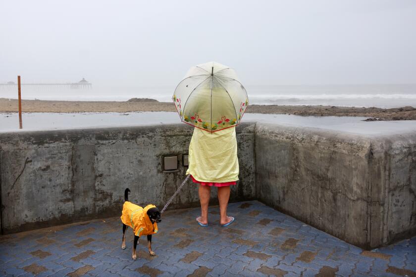
Tropical Storm Hilary threatens heavy rains, flash flooding, high winds and intense surf across Southern California this weekend. Here’s what to expect.
Of course, chance plays a major role in determining hurricane paths. For example, 2015 — the hottest year in history at the time with a very strong El Niño — had an extremely active hurricane season in the eastern Pacific, with 18 named storms, and yet none reached California, let alone made landfall.
But with conditions becoming more favorable to extreme hurricanes around the globe because of human-caused climate change — scientists at the National Oceanic and Atmospheric Administration last week increased their prediction for the number of hurricanes this season — our actions have been making unlikely events like Hurricane Hilary ever more likely.
Ned Kleiner is a scientist and catastrophe modeler at Verisk. He has a PhD in atmospheric science from Harvard.
More to Read
A cure for the common opinion
Get thought-provoking perspectives with our weekly newsletter.
You may occasionally receive promotional content from the Los Angeles Times.
