California’s water from Colorado River could be crippled by a big earthquake. Drought makes fixes vital
- Share via
SAN JACINTO, Calif. — As drought, global warming and chronic overuse push the Colorado River to perilous new lows, water officials are hoping to prevent an earthquake from severing a critical Depression-era aqueduct that now connects millions of Southern Californians to the shrinking river.
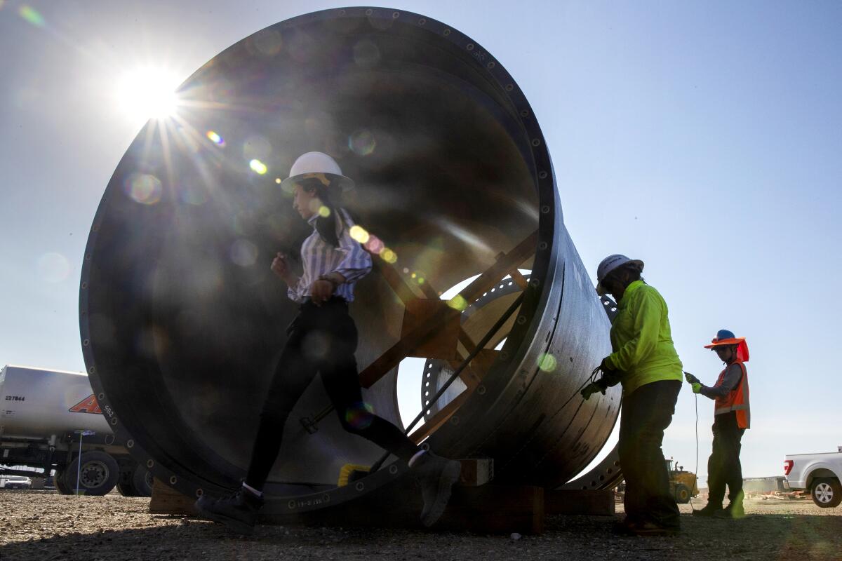
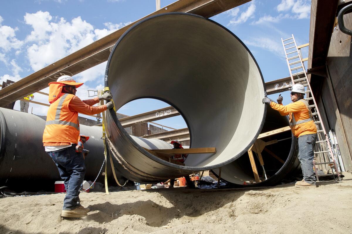
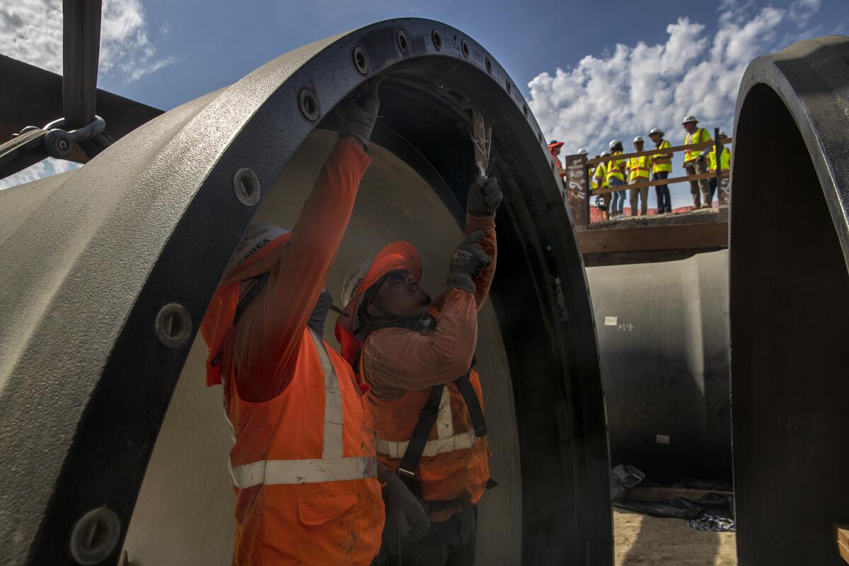
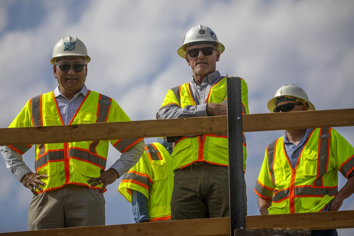
Recently, officials from the Metropolitan Water District of Southern California celebrated as crews lowered a section of earthquake-resistant pipeline into a portion of the Colorado River Aqueduct — the 242-mile system of pumps, tunnels, pipelines and open canals that carry water from Lake Havasu to Southern California.
The upgrade is just the latest instance of state and federal water managers struggling to maintain a complex and aging water conveyance system that is not only beset by drought, but also challenged by sagging canals, leaking pipes and the looming threat of wildfires and earthquakes.
The MWD retrofitting is part of a $37-million project to ensure the siphon — which crosses the Casa Loma fault line — is safe from deformation or even a potential rupture in the event of an earthquake. Officials said it was a significant step in securing the state’s water future. Without it, the nearly 100-year-old segment of the critical aqueduct could be displaced by as much as 13 feet due to seismic activity, they said.
But experts say the project also underscores the plethora of potential catastrophes the state’s water managers must consider on a near-daily basis as the system grows older and more vulnerable to rapid change.
“It’s a big complex system that cost a lot of money to build and took a lot of time to get in the ground,” said David Sedlak, a professor with the UC Berkeley Department of Civil and Environmental Engineering. “And as a result, it constantly demands our attention — whether that’s repairing parts of the system that have reached an age where they need tender loving care and replacement, or addressing newly discovered problems like their vulnerability to earthquakes.”
The latest maps and charts on the California drought, including water usage, conservation and reservoir levels.
The last piece of earthquake-resistant pipeline on the Casa Loma project is set to be laid in the next two weeks, but the area has also been plagued by leaks and creaks for decades. In the late 1960s, about 300 feet of the pipeline had to be replaced after several cracks appeared, officials said.
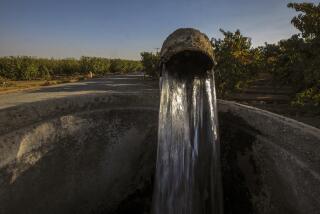
What’s more, an 800-foot portion of the pipeline has experienced more than five feet of vertical displacement over 84 years due to ongoing “nonseismic settlement” of the ground surface in a process known as subsidence. In California, subsidence is often attributed to overpumping of the state’s groundwater — the water that sits beneath the Earth’s surface — because too much pumping can make the ground sink and buckle.
MWD’s chief engineer John Bednarski noted that the Riverside County area surrounding the Casa Loma siphon is home to many dairies and agricultural facilities, which tend to have deep wells.
“With climate change, they just haven’t been getting the precipitation out here to replenish the groundwater basin, so they keep pumping and we need to respond to that,” he said.
But it’s far from the only place vulnerable to such issues. Only a few days after the MWD is slated to lay the final piece of earthquake-resistant pipe at Casa Loma, the agency will be shutting down another segment of its Colorado River pipeline to conduct an emergency leak repair.
That leak, located along the 36-mile Upper Feeder pipeline — will spur a 15-day outdoor watering ban for more than 4 million people in the region. Residents will be asked to cut showers and conserve supplies wherever possible during the shutdown, officials said.
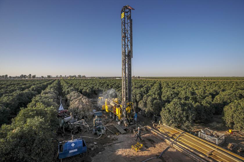
Despite a California law intended to end over-pumping of aquifers, a frenzy of agricultural well drilling continues in the San Joaquin Valley.
Adel Hagekhalil, chief executive and general manager of the MWD, said the “double whammy” of a Colorado River pipeline shutdown against the backdrop of extremely limited state supplies is one of many reasons for officials to stay proactive when it comes to diversifying the region’s water portfolio.
“We have a huge responsibility to build a water system that is resilient to earthquakes, resilient to drought — both in local water supplies and in storage,” he said. “We can build our system in a way to respond to these challenges, but also if something happens, we are able to adapt and respond quickly to move water around.”
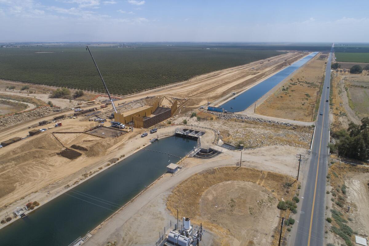
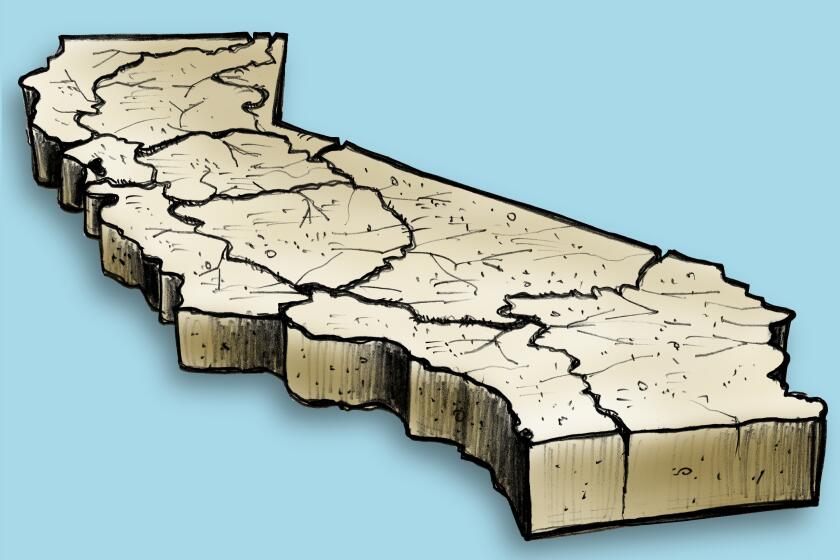
The problems also aren’t unique to Southern California. Land subsidence, in particular, is posing significant threats to water infrastructure in the Central Valley, which is sinking faster than any other part of the state.
The land beneath one federally managed aqueduct known as the Friant-Kern Canal, which moves water from the Fresno area toward Bakersfield, has sunk about 13 feet since its completion about 70 years ago. As a result, some sections of the canal have seen their carrying capacity reduced by more than 50%.
Earlier this year, federal, state and local officials gathered to break ground on the first phase of a $500-million project to shore up that sinking canal, which was showing visible cracks and other signs of damage. The project “symbolizes the importance of strong partnerships so that we can address critical repair needs on our state’s aging water infrastructure,” Department of Water Resources director Karla Nemeth said at the time.
Stanford researchers examined how land is sinking in the San Joaquin Valley, finding that slowing or halting subsidence requires rising water levels.
But while raising canal walls and replacing old segments should help address the immediate problem, a big-picture approach is equally important, said Andrew Hamilton, a civil and environmental engineering researcher at Cornell University. Hamilton recently published a study about water infrastructure in the Central Valley, which found that collaborative approaches between water utilities, irrigation districts and other agencies will be necessary to create the most resilient system.
“There’s often a lot of interaction between the different components in the system, and so it’s important to understand, from a holistic point, what is the aggregate impact of all these different investments that are happening, rather than looking at them in isolation,” he said.
Hamilton said similar subsidence issues are happening elsewhere in the state, including along the California Aqueduct and the Delta-Mendota Canal. But he noted that another California hazard — wildfires — can also create issues for the state’s water suppliers as increased stream flows can lead to increased erosion, flooding and debris.
“It’s sort of a ‘multihazard’ — many different risks kind of coming together at once,” he said. “Which is fascinating from an academic perspective, but scary from a management perspective.”
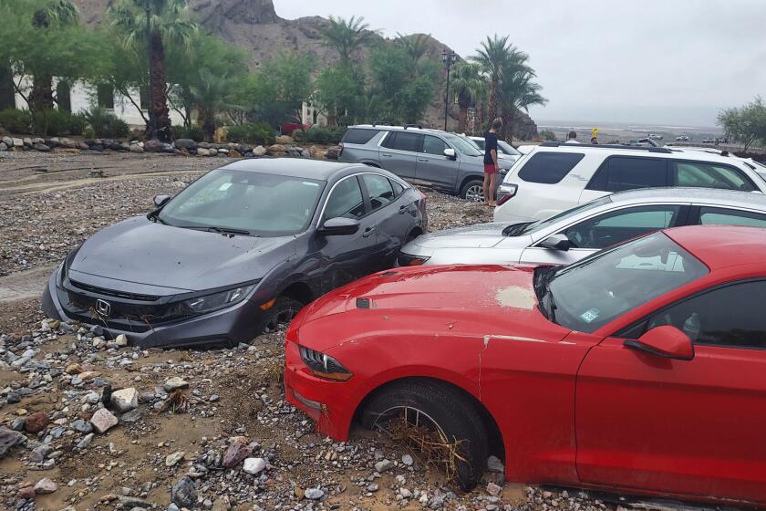
Despite worsening drought conditions, global warming has already doubled the odds that California will experience a catastrophic ‘megaflood.’
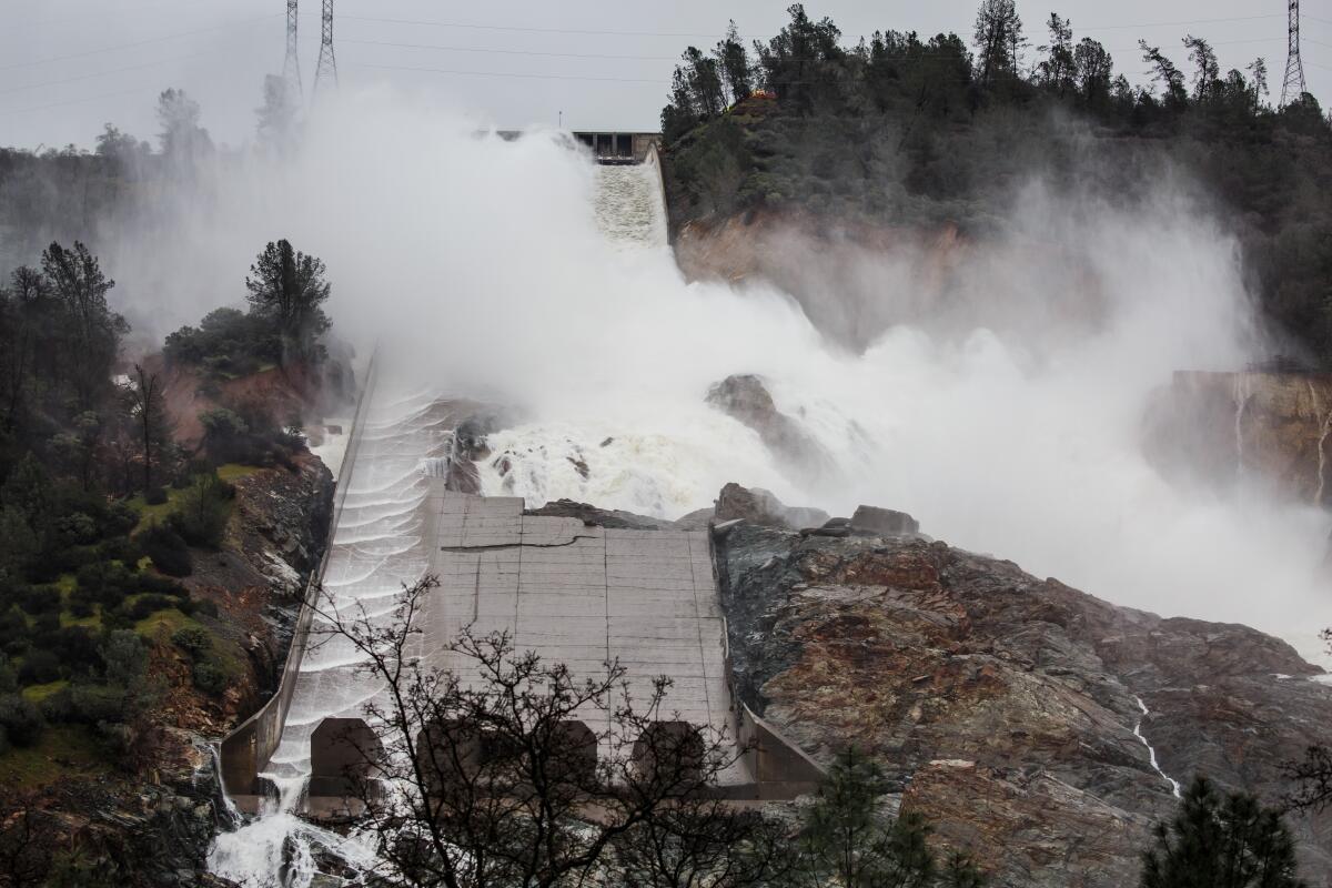
In 2017, heavy rains and erosion damaged spillways at the Oroville Dam in Northern California, prompting the evacuation of more than 180,000 people. Officials had feared that the damage could send a 30-foot wall of water flooding into communities below, which would have made it one of the worst dam disasters in state history.
Although Oroville avoided catastrophe, a study published this month found that the risk of a catastrophic “megaflood” in California has doubled due to global warming.
Sedlak, of Berkeley, said the state’s unique vulnerability to such disasters is all the more reason to continue to work toward a more diversified water portfolio, “because when you don’t rely on only one water source, you have the opportunity to bring water from other places to make up for temporary shortfalls.”
He said Gov. Gavin Newsom’s recently released water-supply strategy, as well as President Biden’s infrastructure bill, are both important steps in the right direction. Biden’s package allocates $8.3 billion to the Bureau of Reclamation for water infrastructure projects, including $310 million to help combat the Western megadrought.
But Sedlak also recalled when former Gov. Pat Brown funded a $1.75-billion water initiative in 1959 that eventually became the State Water Project, which now provides water to more than 23 million Californians. That initial investment would be about $18 billion today. He said there is a growing consensus that it’s time to approach that level of investment again, particularly since so much has changed since then.
“We got some things right in terms of projecting the number of people who live in California, but we didn’t anticipate what the climate would do, and we didn’t understand, perhaps, how vulnerable our water systems were to natural hazards like earthquakes and floods,” Sedlak said. “And so now it’s kind of the time to make another one of those big investments to protect our water systems — not only from drought but from these other aspects that threaten them.”
