Cool temps to follow warm weekend in California, likely minimize snowmelt, flooding
- Share via
Highs for much of California will peak Saturday as the state braces for the year’s warmest temperatures so far, forecasters say, but rainy, cooler weather next week could help minimize the chances of drastic flooding from rapid snowmelt.
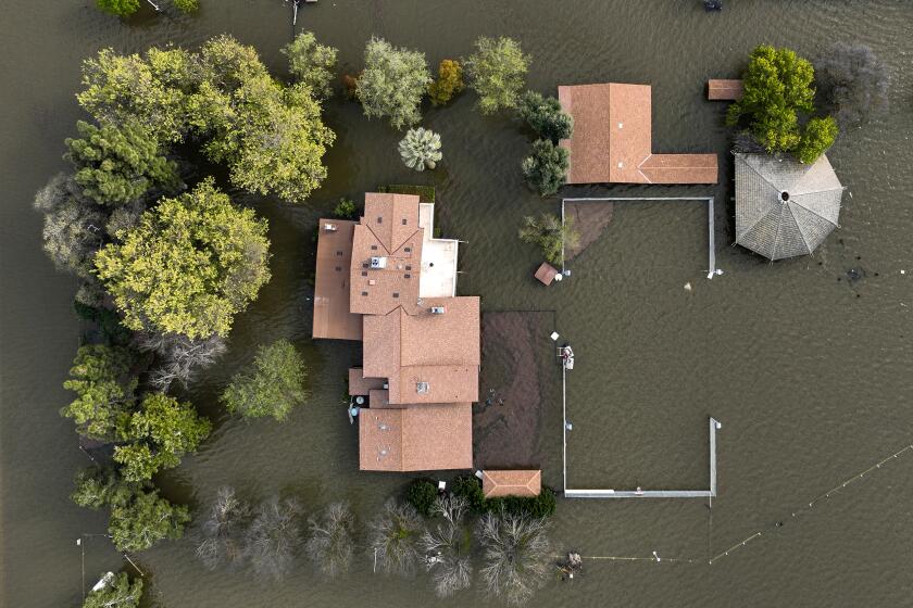
Weather officials are warning about flooding in the Yosemite Valley by early Saturday, with minor flooding across the Central Valley and along Northern California’s border with Nevada.
In Southern California, residents can expect above-normal temperatures Friday through the weekend, but the heat isn’t expected to reach extremes, said Rose Schoenfeld, a National Weather Service meteorologist in Oxnard.
“It’s definitely a heat event that affects the inland areas a lot more,” Schoenfeld said.
Temperatures across California started to rise Wednesday, but forecasters said the heat wave should be short-lived, with a cold front on the horizon that could limit the worst of snowmelt flooding risks.
Temperatures are expected to reach into the low 90s by Saturday for much of Los Angeles County’s valley and inland regions, including the San Fernando and Santa Clarita valleys, Burbank and Pasadena. San Bernardino and Riverside will see highs in the mid-90s, with some desert areas such as Palm Springs and Thermal reaching the 100s, according to the National Weather Service.
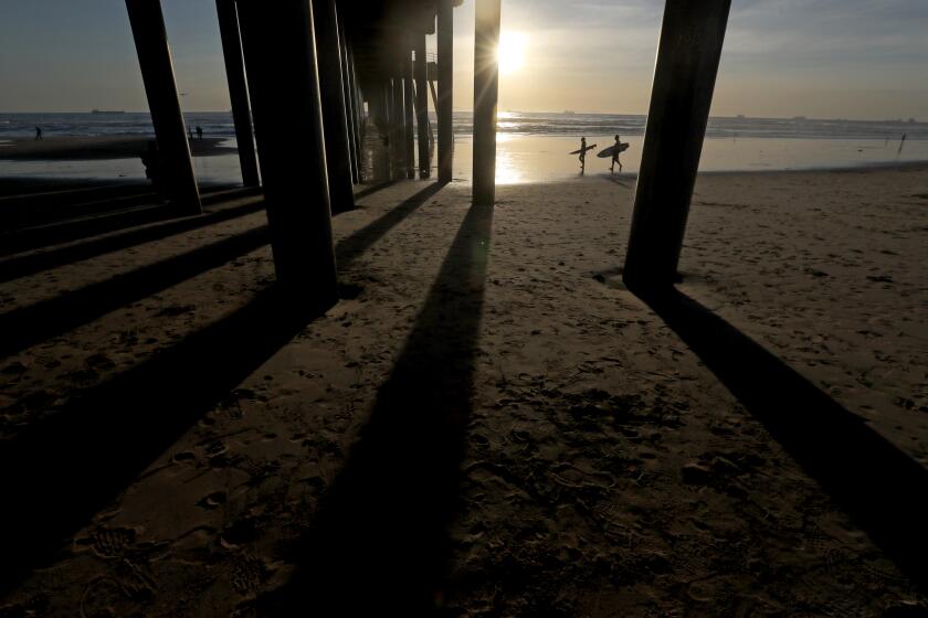
Downtown L.A. temperatures will peak in the mid-80s Saturday, with the coast and beaches remaining cooler, Schoenfeld said.
Farther north, the heat will be pushing 100 in much of inland Central California on Friday and Saturday. The Sacramento Valley could reach record highs. That period of high temperatures has increased the possibility of more flooding, especially in the Central Valley.
With cooler weather expected next week, forecasters said any flooding over the next few days should remain relatively minor.
“We do expect the Merced River in the Yosemite Valley at the Pohono Bridge to rise above flood stage,” said Bill South, a meteorologist with the National Weather Service in Hanford.
He said the river is expected to exceed its flood stage of 10 feet about 1 a.m. Saturday. It will probably continue fluctuating around that threshold all weekend, but won’t approach as high as 12 feet, where more major flooding would be likely.
Temperatures in the San Joaquin Valley will climb to the high 80s and mid-90s this week, melting deep Sierra snowpack and triggering potential floods.
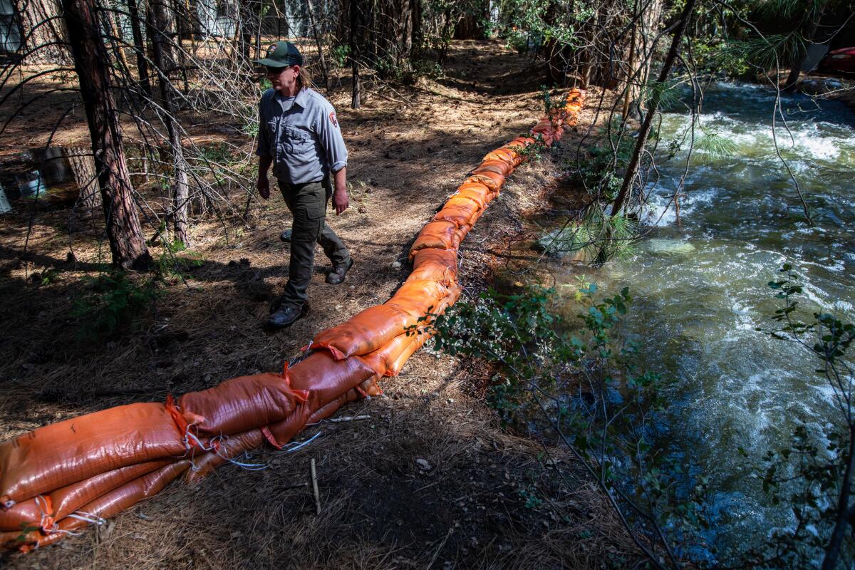
The Yosemite Valley and much of the surrounding region, including most of northeast California, remain under a flood watch through early next week from increased snowmelt, expected to bring excessive runoff and minor flooding. The majority of Yosemite National Park will close down Friday evening.
Other parts of the Central Valley are also on alert for potential flooding from dam releases, with flood-prone and low-lying areas in Fresno, Madera, Kings and Tulare counties on notice, according to warnings and advisories from the National Weather Service.
South said areas along the San Joaquin and Kings rivers in these counties can expect “nuisance flooding” from these dam and reservoir releases.
“The areas very directly on the river banks are being flooded, but I would say it’s minor,” he said.
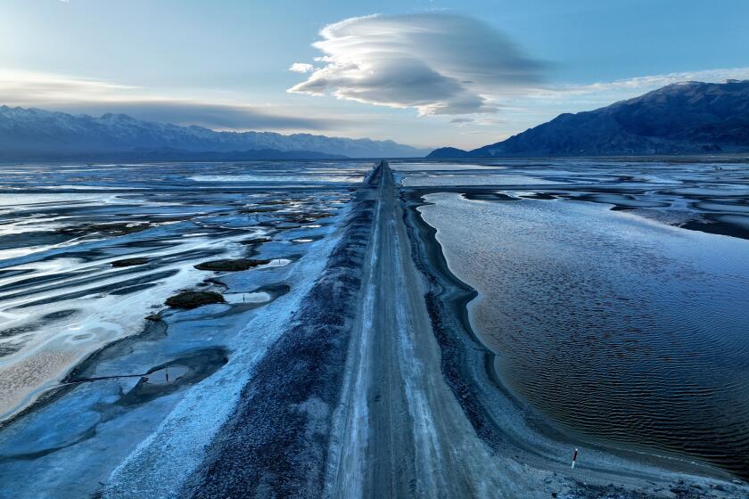
With forecasters predicting a weeklong heat wave, work crews are scrambling to shore up flood defense along the Los Angeles Aqueduct.
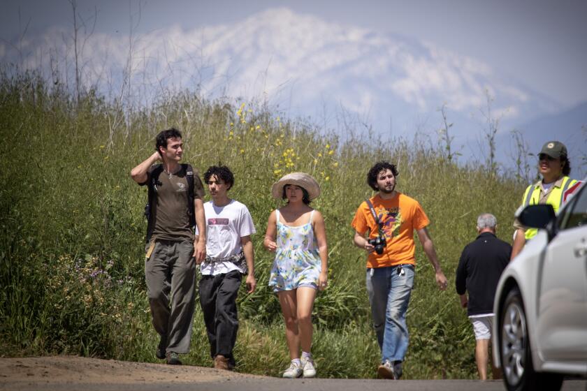
The cold and fast waterways, which can look appealing for a quick dip, can be dangerous even for experienced swimmers. Officials warned visitors and residents to remain cautious.
Before long, a low-pressure system will move into the region Sunday. It’s expected to help ease many of those concerns, especially about flooding.
“We’re expecting an extended period of cooler weather Monday through Friday,” South said. “We expect the water levels to gradually fall next week.”
Forecasters are predicting a 15- to 30-degree drop in temperatures by Tuesday, with highs for much of the Los Angeles region falling to the 60s or upper 50s, Schoenfeld said.
“It will feel a little cooler Sunday, and then Monday we’ll see a big drop-off,” Schoenfeld said.
Forecasters say cooler temperatures in May could help spare California a devastating spring snowmelt.
Temperatures aren’t expected to fall much further through the week, she said, though precipitation is also expected.
“We’re fairly confident there will be some rainfall from the timeline from Tuesday to Saturday,” she said, though the amount isn’t yet clear.
She said showers are most likely, and there’s also the possibility of snow in the mountains and some thunderstorms.
There’s also a chance of rain farther north next week. South said flood concerns will remain tied to snowmelt, especially with the vast majority of this year’s snowpack still intact. He said peak snowmelt usually doesn’t happen until June.
“We have a lot of time to go for additional flooding concerns this spring,” South said. “We could still see that later this summer, for sure.”
More to Read
Sign up for Essential California
The most important California stories and recommendations in your inbox every morning.
You may occasionally receive promotional content from the Los Angeles Times.
