Before and after photos from space show storms’ effect on California reservoirs

- Share via
After a series of atmospheric-river storms hit California in December and January, the state’s two largest reservoirs are looking a lot fuller than they did a few months ago. Before-and-after satellite photos from NASA Earth Observatory show that those early-winter deluges were difference-makers.
The photos don’t take into account several February storms, including the epic snowfall over the weekend, which also are likely to help move the needle.
Lake Shasta, shown above, is California’s largest reservoir. On Nov. 19, when the first photo was taken, it sat at 31% of capacity, according to the California Department of Water Resources.
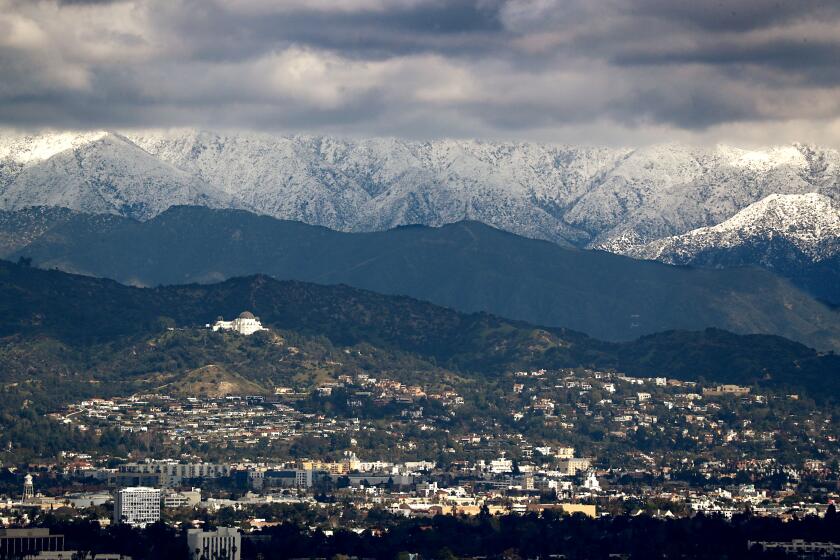
Satellite photos from NASA Earth Observatory show snow from winter storms covering Southern California mountains.
By Jan. 29, when the “after” image was taken, Shasta was up to 56%. And data updated Monday from the California Department of Water Resources’ tracker show the reservoir climbing to 60%, still below historical levels for February — 72% — but significantly higher than it had been.
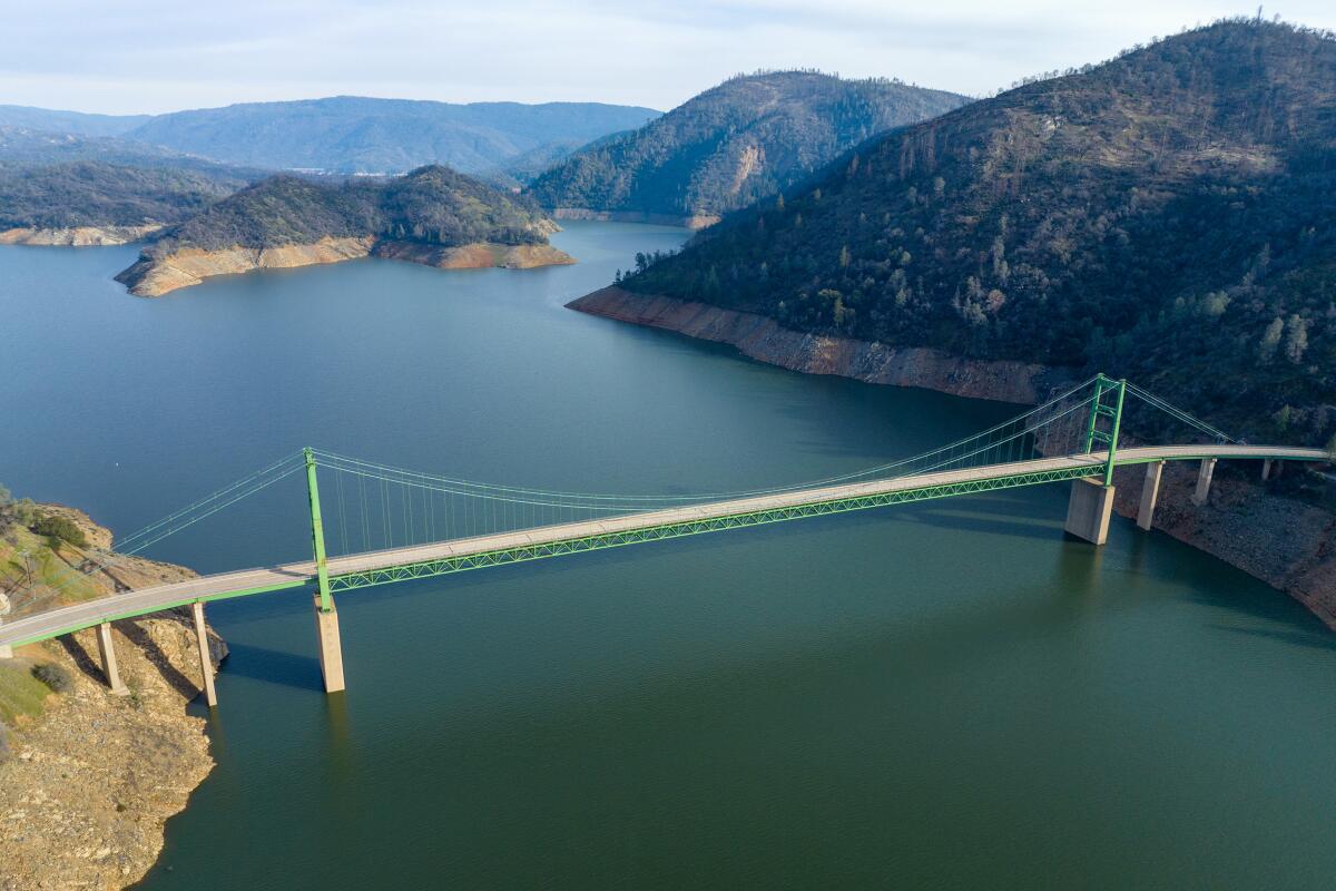
Lake Oroville, a key component of California’s water supply, also benefited from the early-winter storms, as satellite images attest.
On Nov. 19, when the first photo was taken, the reservoir stood at 28% of capacity, well below its historical average.
By Jan. 30, Oroville was at 64%, and Monday’s updated figures showed it at 72% — well above its historical average for February, 63%.
Though reservoir levels have improved significantly, California still faces a serious drought. Experts told The Times it would take more than a series of storms to make up for years of water deficits.
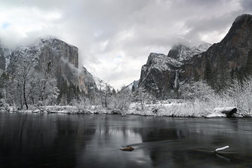
All roads inside the park have been restricted to administrative use only.
Groundwater has been depleted and was still at dangerously low levels in places including the Central Valley. In Los Angeles, stormwater capture has failed to live up to promises. The Colorado River, a major source of water for Southern California, is in crisis.
The storms, however, did make a difference. Although water systems are complicated and analysis is pending, Department of Water Resources spokesperson Margaret Mohr said Thursday’s update from the U.S. Drought Monitor showed that the state remained entirely out of exceptional and extreme drought, whereas 41% of the state was under those classifications three months prior.
The proportion of the state in severe drought or worse dropped from 85% to 33% in those three months.
More to Read
Sign up for Essential California
The most important California stories and recommendations in your inbox every morning.
You may occasionally receive promotional content from the Los Angeles Times.


