Biggest storm of the season expected in Southern California on Tuesday

- Share via
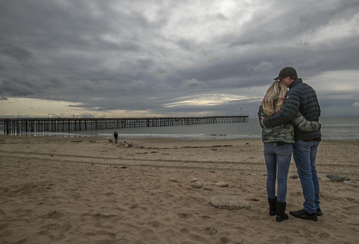
Delivering heavy downpours and aggressive winds, “the most significant storm of the season” is expected to blow into Southern California early Tuesday, weather officials said.
The storm system began brewing in the Gulf of Alaska, common for this time of year, and has worked its way into the Pacific Northwest and down through Northern California.
It is expected to hit Los Angeles County late Monday evening in the form of light rain showers, said Rich Thompson, a meteorologist with the National Weather Service’s Oxnard office. And when the main storm front rolls through early Tuesday, residents can expect a constant deluge of rainfall until late Tuesday afternoon.
A powerful storm that has already walloped Northern California could bring as much as 3 inches of rain to Southern California’s coastal areas.
One to 3 inches of rain are forecast for the valley and coastal areas of the county while the mountains may see 3 to 6 inches of precipitation, according to the weather service.
For comparison, last week’s storm brought half an inch or less of rainfall, Thompson said.
Weather officials said there would be flash-flood watches Monday night into Tuesday morning or afternoon for burn areas throughout the region, such as those affected by the Bobcat, Dam, Ranch 2 and Lake fires in the Angeles National Forest from 2020, and the Palisades fire, which burned this spring.
Emergency officials in Los Angeles County released mud and debris flow forecasts for roads and neighborhoods near the mountain burn areas.
San Bernardino and Orange counties saw similar flash-flood watches issued for scars left behind by the Bond fire and Blueridge and Silverado fires.
Vegetation on mountainous slopes is key to keeping soil from sliding down onto roads and structures, said Casey Oswant, a meteorologist with the weather service’s San Diego office. In drought-stricken places where plants have been slow to regrow, the potential for debris flows increases.
And depending on how much rain pours onto the mountains, officials may elevate the flood watch to a more imminent warning.
“It’s one of the big things we’re watching tonight and tomorrow,” Thompson said.
Tuesday’s storm also is forecast to bring strong winds, with the coastal and valley areas expecting gusts from 35 to 45 mph, while the mountain areas may see wind gusts up to 65 mph.
Aside from the storm bringing potentially messy commutes, officials warned of possible road hazards like street flooding, trees downed by the wind and icy conditions in mountain areas.
In anticipation of the rain, the county dispatched homeless outreach teams to a number of encampments in riverbeds and washes along the Los Angeles and San Gabriel rivers or near Whittier Narrows, all areas that, although dry most of the year, have flooded during storms, creating potentially lethal currents.
The Los Angeles Homeless Services Authority activated its two shelters that are set aside for cold and rainy weather — one in Glassell Park, the second at Alondra Park in Torrance — providing additional beds for unhoused residents.
However, Theo Henderson, an activist and creator of the podcast “We the Unhoused,” said the county’s shelter system, which still functions with limited capacity and a no-walk-in policy because of the COVID-19 pandemic, is not an adequate solution for homeless people during rainy periods.
Citing the threat of hypothermia and belongings being damaged and made unusable by the rain, Henderson said challenges presented by storms were felt most acutely by unhoused Angelenos.
Henderson said there is a lack of places to stay safe and dry during storms like Tuesday’s, pointing to anti-camping policies, which elected officials have since used to ban sleeping in 54 locations across the city.
The law, passed this summer, made it even more difficult for homeless people to navigate shelter during stormy weather, Henderson said. Oftentimes, many unhoused turn to unsustainable options such as riding buses and trains until the rain passes, he added.
Public libraries may offer some relief during storms, providing dry seating areas, warmth and functioning restrooms. But Henderson also cited a city library policy that bans bags that are taller than 2 feet and wider than 14 inches, which bars many homeless people who may keep their belongings in large suitcases.
“Inclement weather is the litmus test of the soul of our city,” Henderson said. “You wanna see how compassionate we are, look at the policies we have that preclude poor people from surviving inclement weather.”
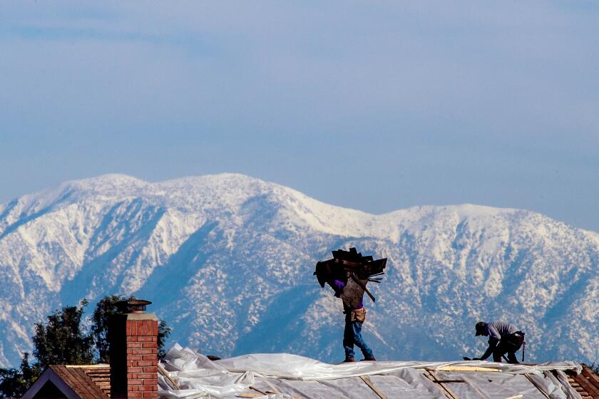
Much as in the Northern California mountains, the storm may bring 1 to 3 feet of snowfall to areas above 7,000 feet, a welcome sign for ski resorts in places like Mt. Baldy and Mountain High.
And as temperatures drop Tuesday evening, the 5 Freeway in the Grapevine area may be coated with a 1- to 3-inch layer of snow.
The storm will taper off Tuesday evening, possibly with light and scattered showers in its wake, weather service officials said. By Wednesday morning, storm clouds are expected to give way to mostly sunny skies.
More to Read
Sign up for Essential California
The most important California stories and recommendations in your inbox every morning.
You may occasionally receive promotional content from the Los Angeles Times.


