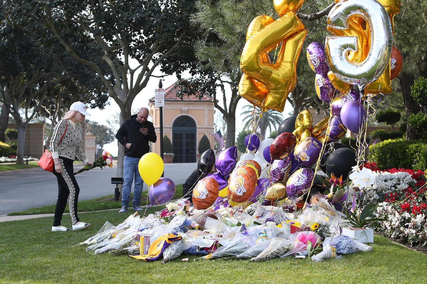
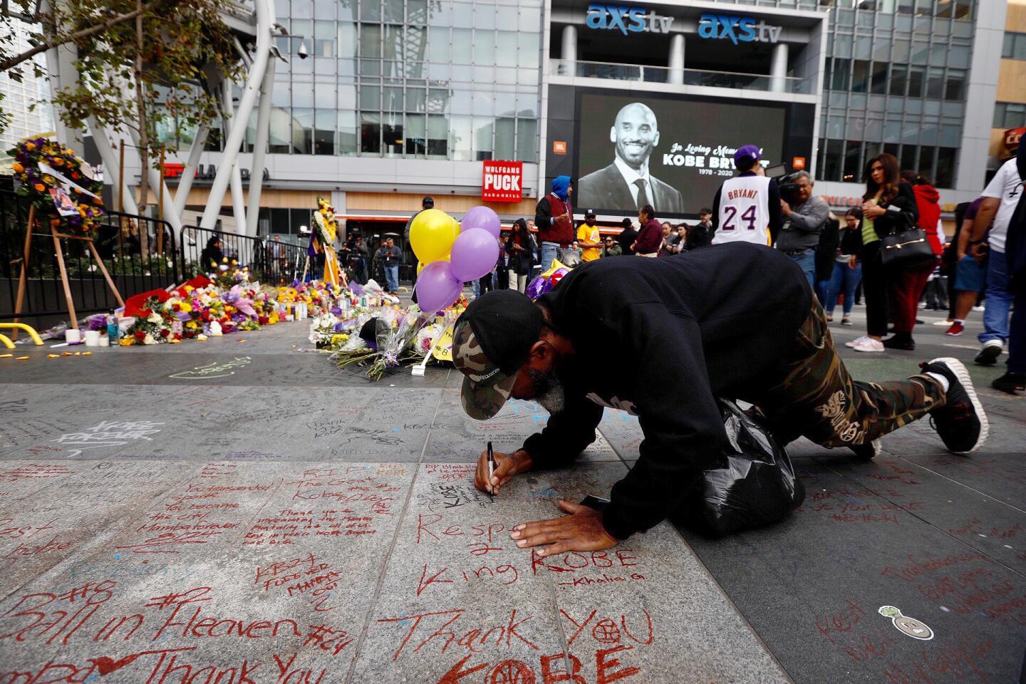
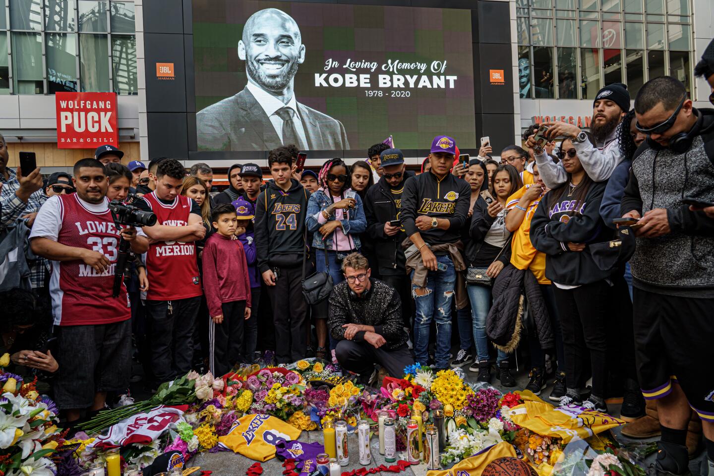
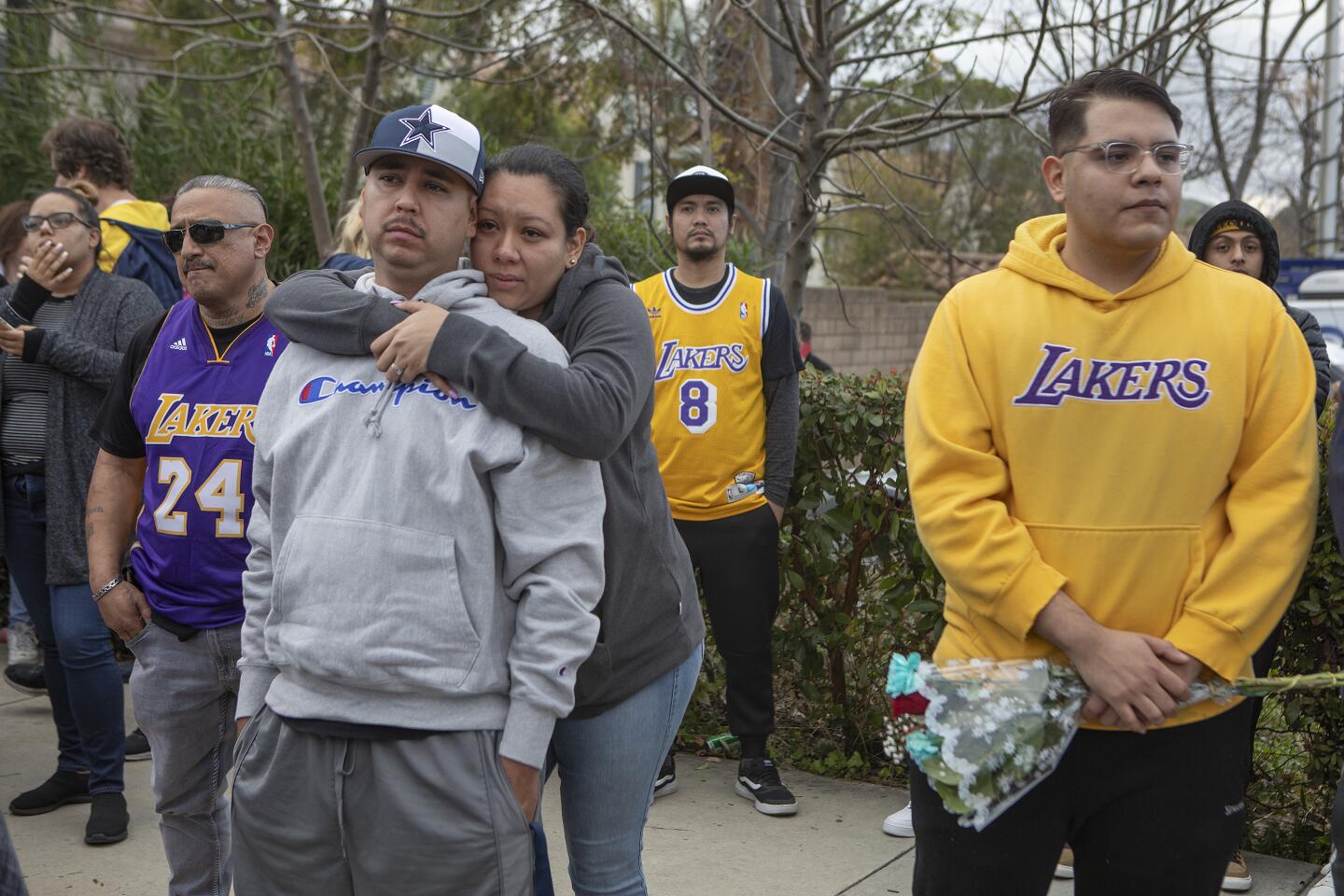
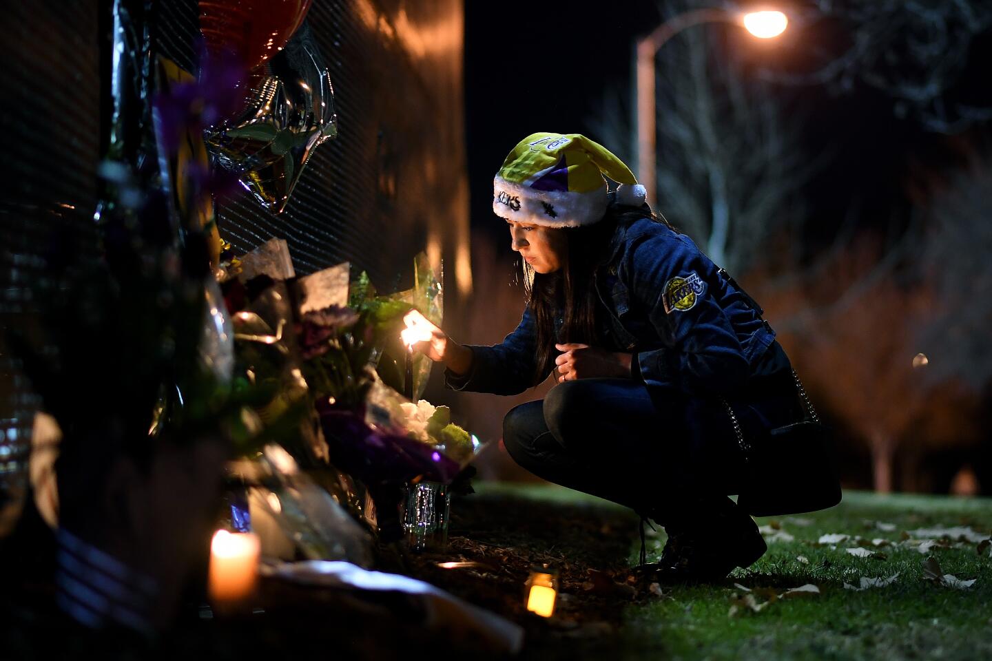
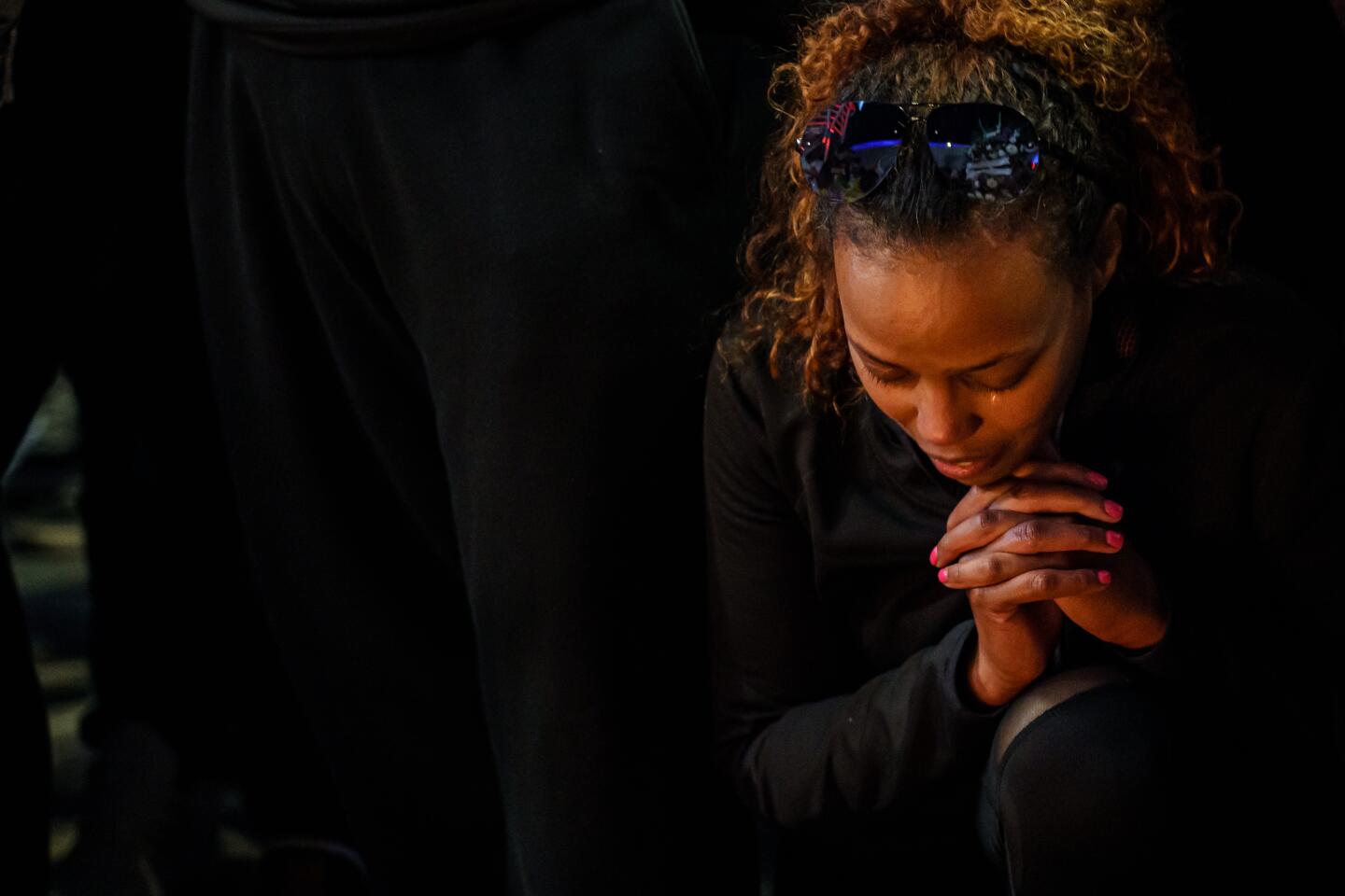
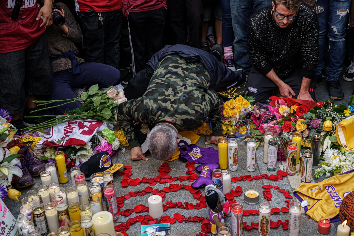
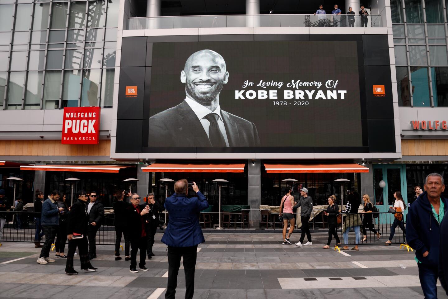
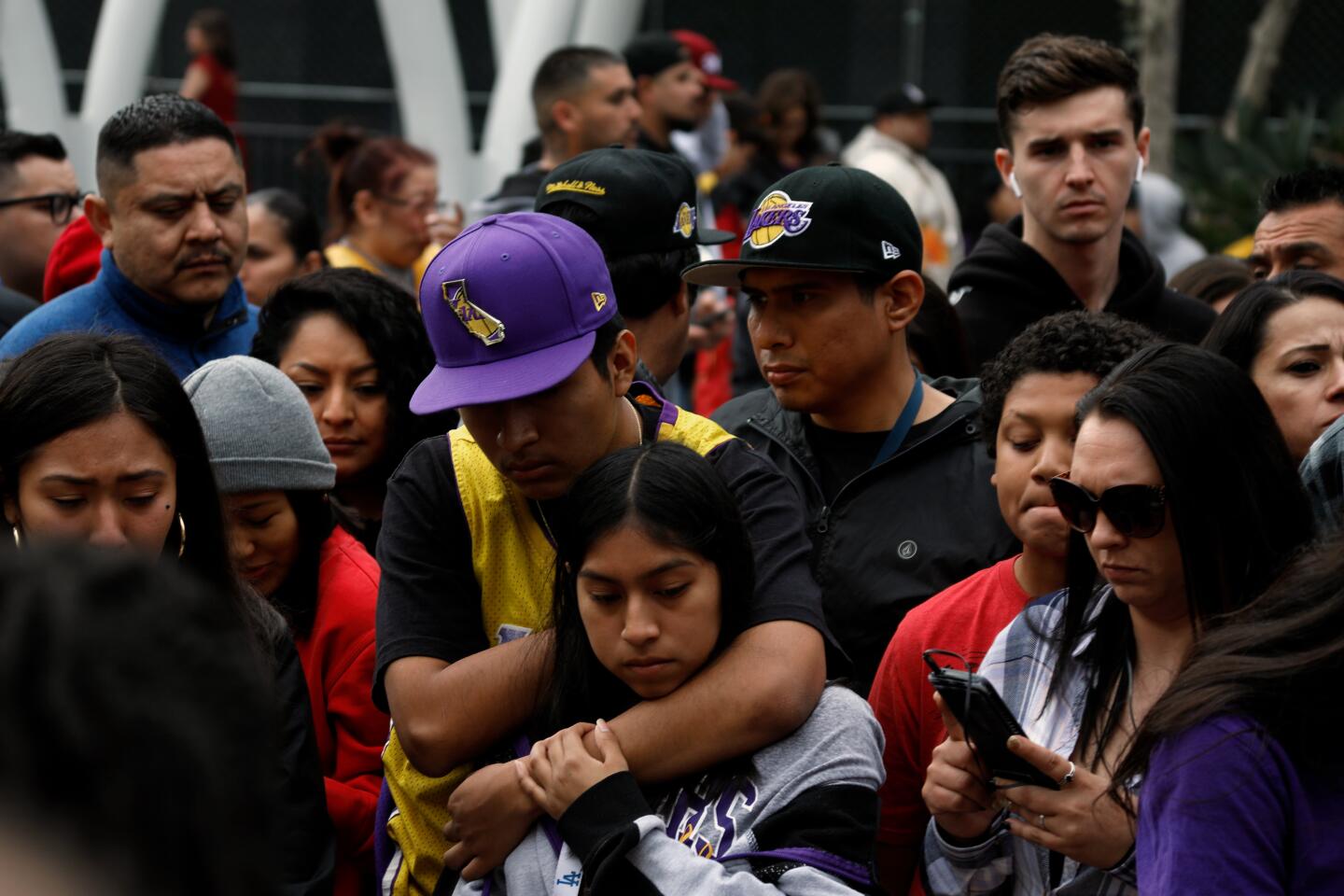
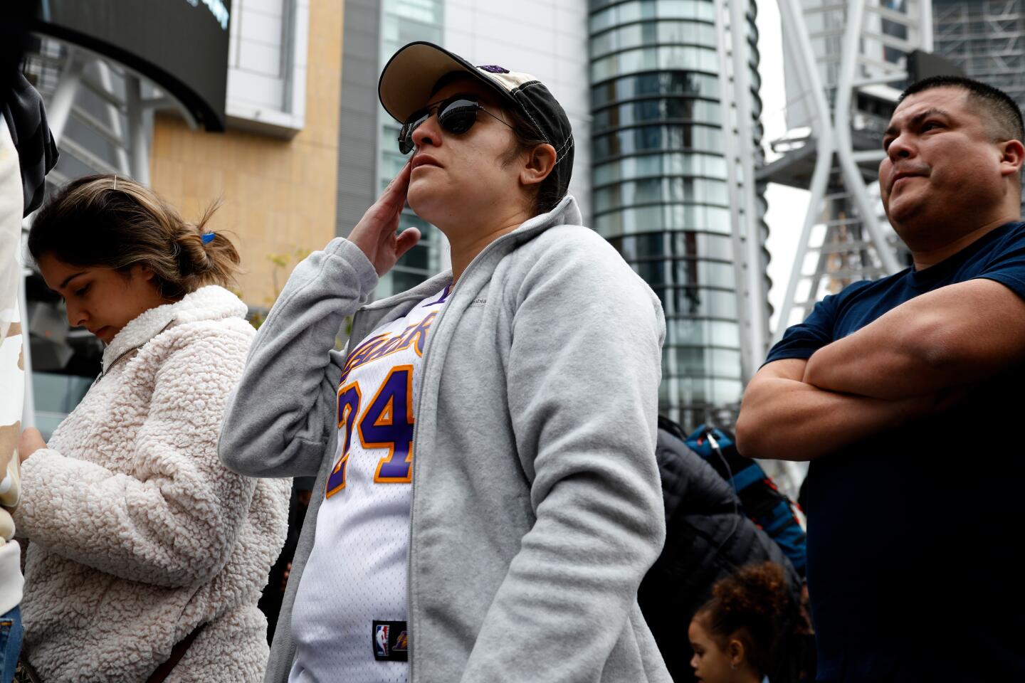
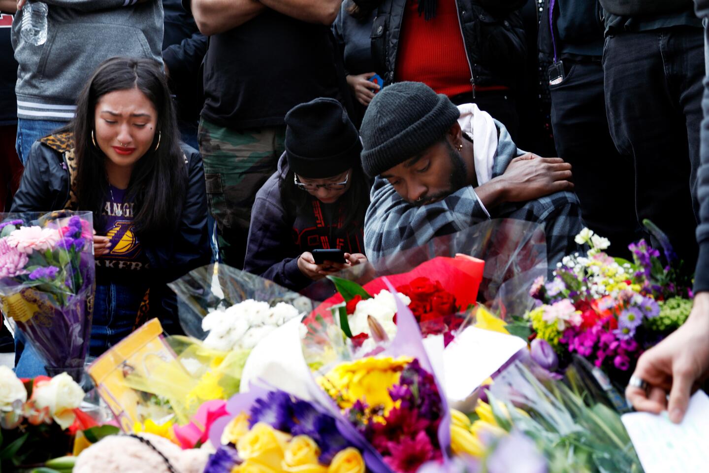
The last flight of Kobe Bryant
- Share via
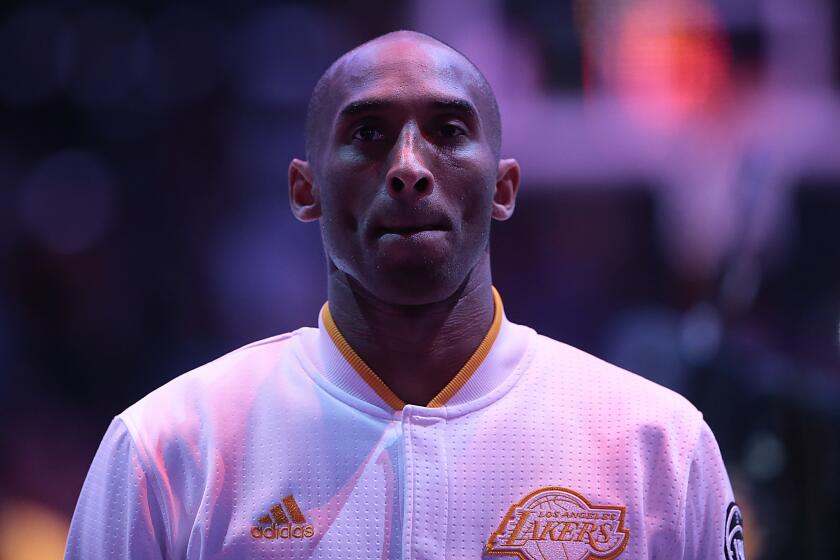
A light fog had settled on the runway of John Wayne Airport Sunday morning when Kobe Bryant, his daughter Gianna and six other passengers boarded a chartered helicopter to fly to a basketball tournament in Thousand Oaks.
Half an hour later, they were flying over thickening clouds in the San Fernando Valley. The pilot was worried enough to ask flight controllers to keep track of them. As he approached the hills of Calabasas at 150 miles per hour, they radioed him, telling him he was too low for them to see on radar.
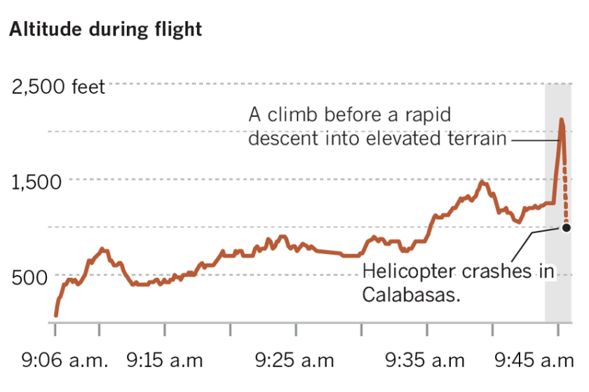
The pilot commenced a climb, rising 765 feet in 36 seconds, enough to clear adjacent hills.
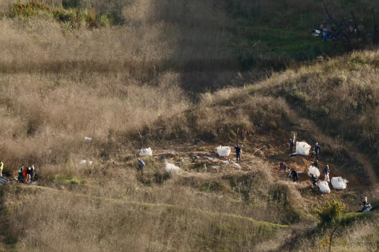
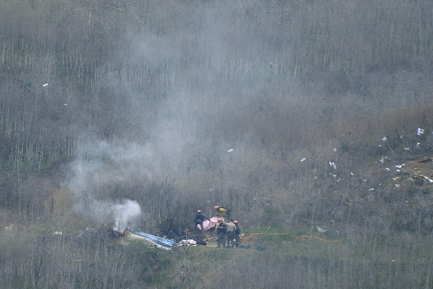
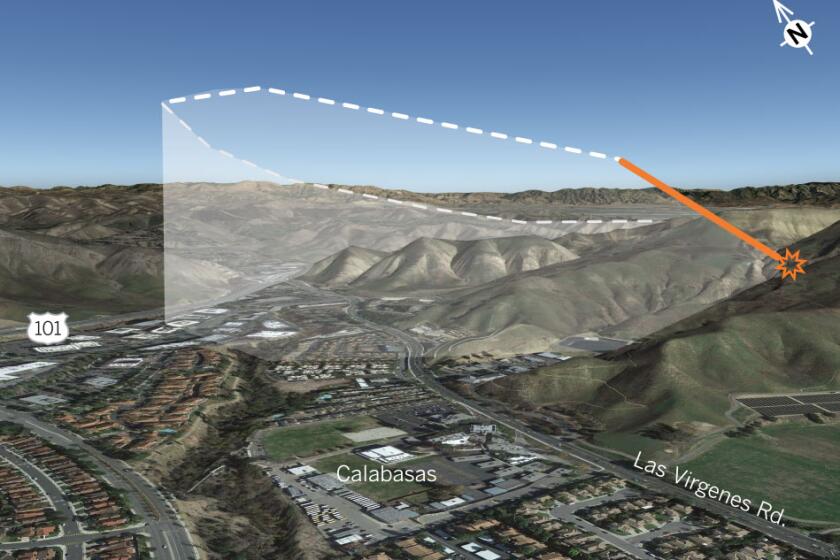
What happened next was mysterious: The Sikorsky S-76B suddenly veered off course and descended rapidly. The twin-engine aircraft dropped 325 feet in 14 seconds, reaching 176 miles per hour before losing contact and hitting the hillside above Las Virgenes Road, killing all nine people on board.
The helicopter that crashed Sunday in Calabasas, killing nine people including Kobe Bryant, was not equipped with a terrain alarm system.
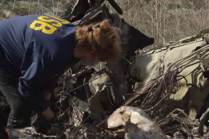
Federal investigators on Monday began a wide-ranging investigation into the crash heard around the world.
They plan to look at the history of the pilot and helicopter maintenance records, as well as the foggy conditions, which can quickly disorient pilots.
The helicopter was not carrying a black box, cockpit voice recorder or flight data recorder, officials said, although investigators did recover an iPad with ForeFlight, an app pilots use to log flight plans and weather briefings.
Complete coverage of the death of Kobe Bryant, his daughter, Gianna, and seven others in a helicopter crash.
Bryant, 41, who lived in Newport Beach, had made the flight to the Camarillo Airport many times.
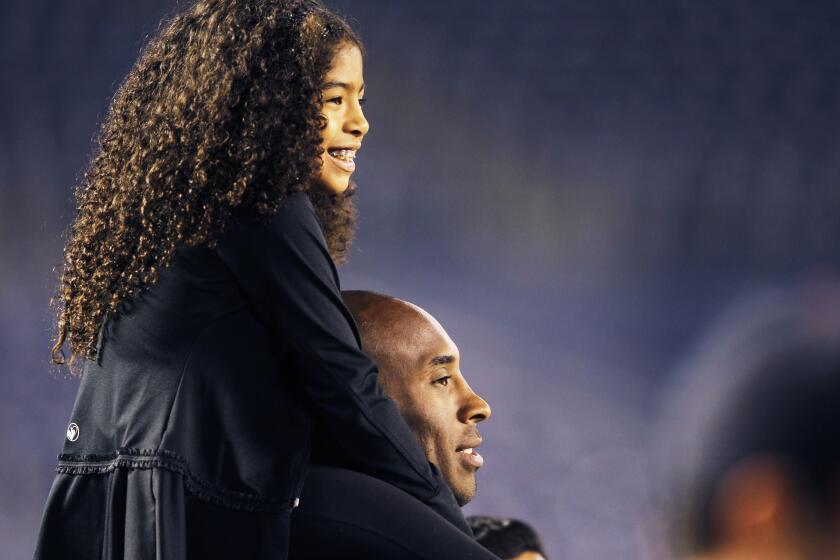
On Sunday, he was scheduled to coach his 13-year-old daughter’s team game against the Fresno Lady Heat at his Mamba Sports Academy in Thousand Oaks The tournament, called the Mamba Cup, featured boys’ and girls’ travel teams from fourth through eighth grades.
Accompanying the Bryants: John Altobelli, 56, the longest-tenured baseball coach in Orange Coast College history; his wife, Keri, 46; their daughter Alyssa, 13; Christina Mauser, 38, an assistant basketball coach at the Mamba Academy; Sarah Chester, 45; and Chester’s daughter, Payton, 13.
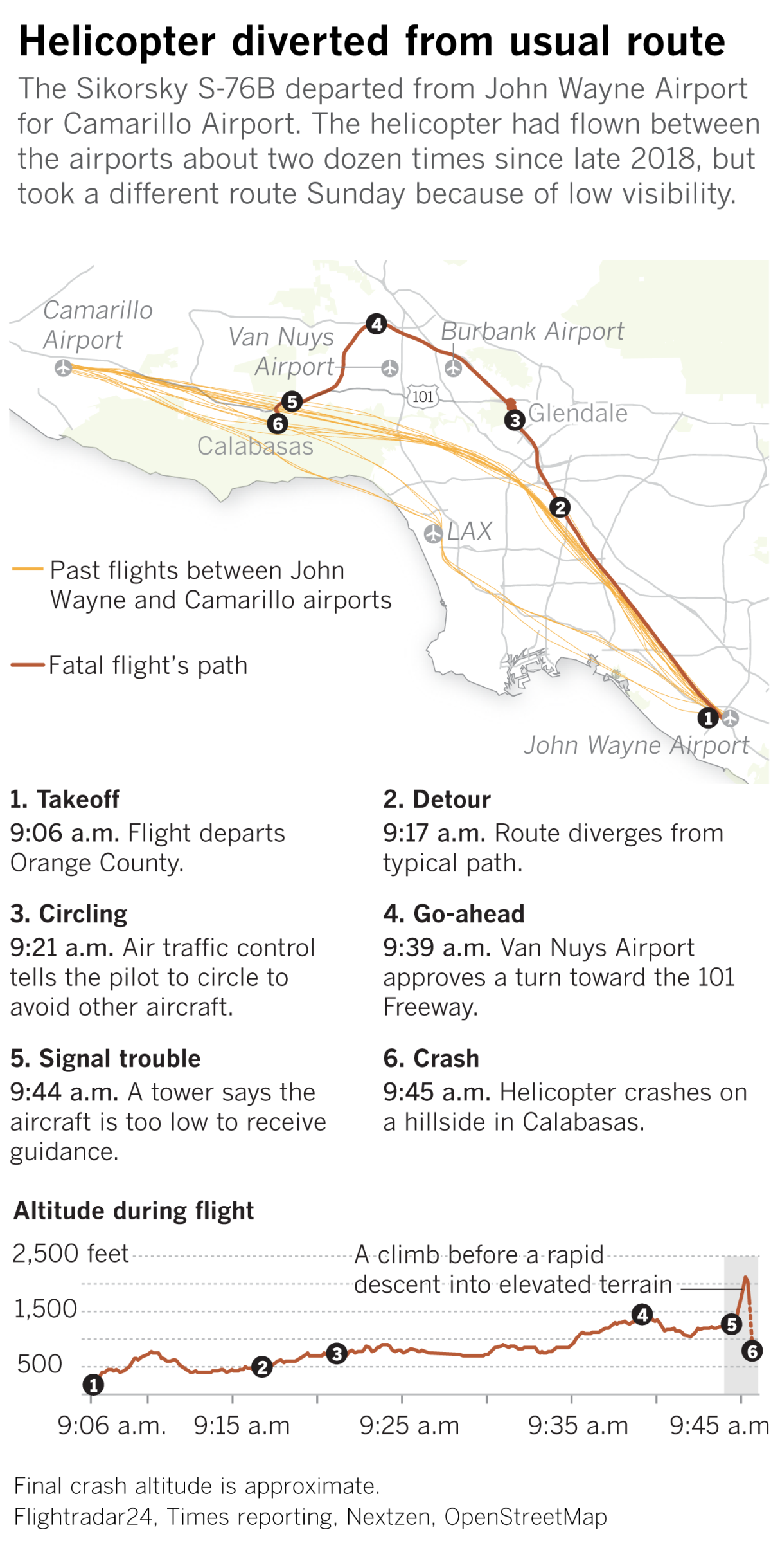
The flight took off from John Wayne Airport in Orange County at 9:06 a.m.
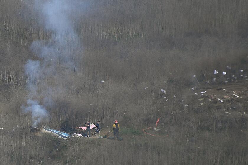
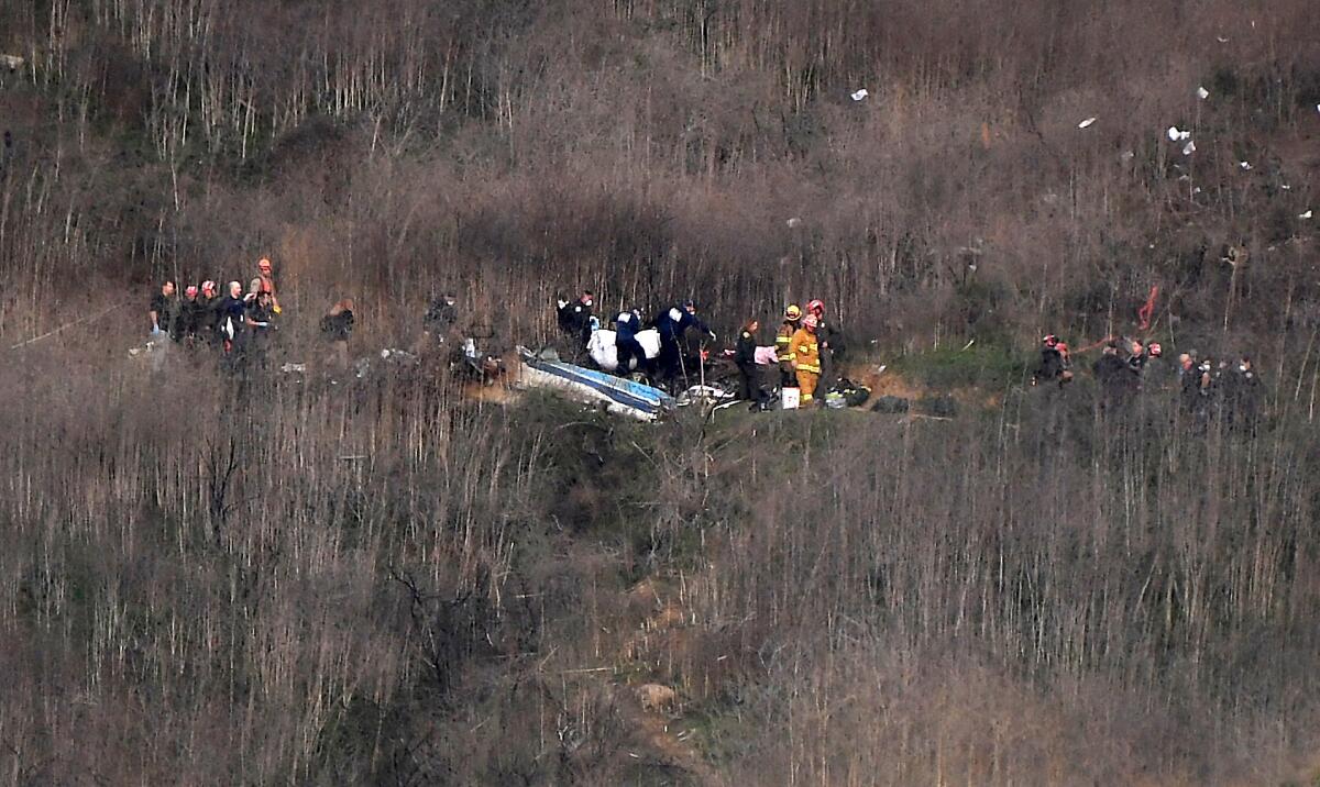
Nine people, including Kobe Bryant, were killed when a helicopter crashed and burst into flames in Calabasas.
The pilot was identified by colleagues as Ara Zobayan, 50, of Huntington Beach.
Federal Aviation Administration records show that Zobayan had been a licensed helicopter pilot since January 2001 and obtained a commercial helicopter license with an instrument rating in 2007, which allows pilots to fly in inclement weather by using their instruments and directions from air traffic control, rather than by eyesight, using visual flight rules, known as VFR.
Bryant regularly used the helicopter, owned by the charter service Island Express. Records show the aircraft had flown between John Wayne Airport and Camarillo Airport about two dozen times in the last two years.
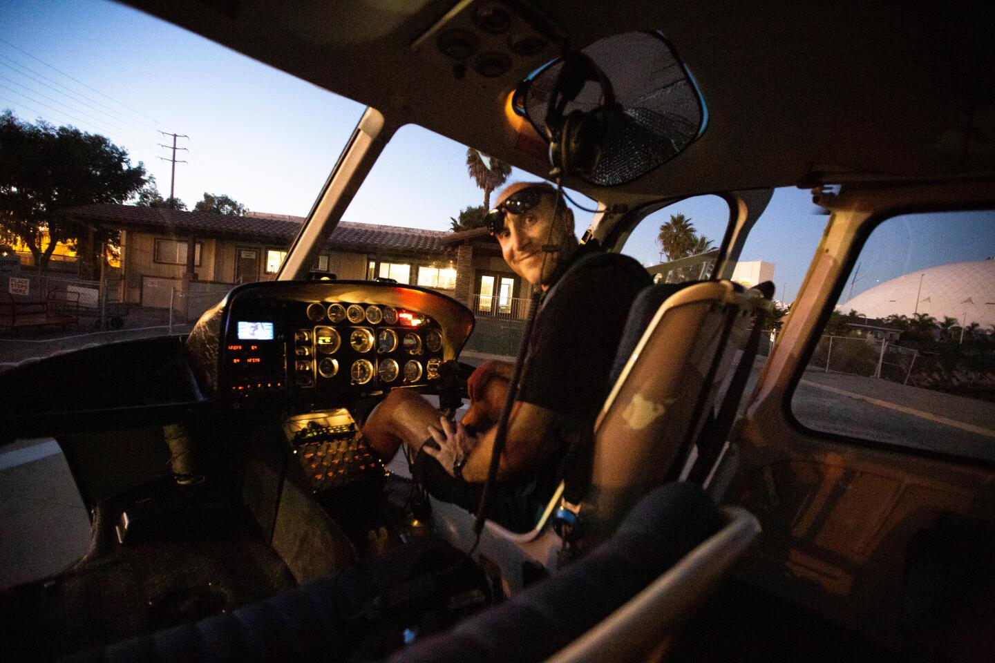
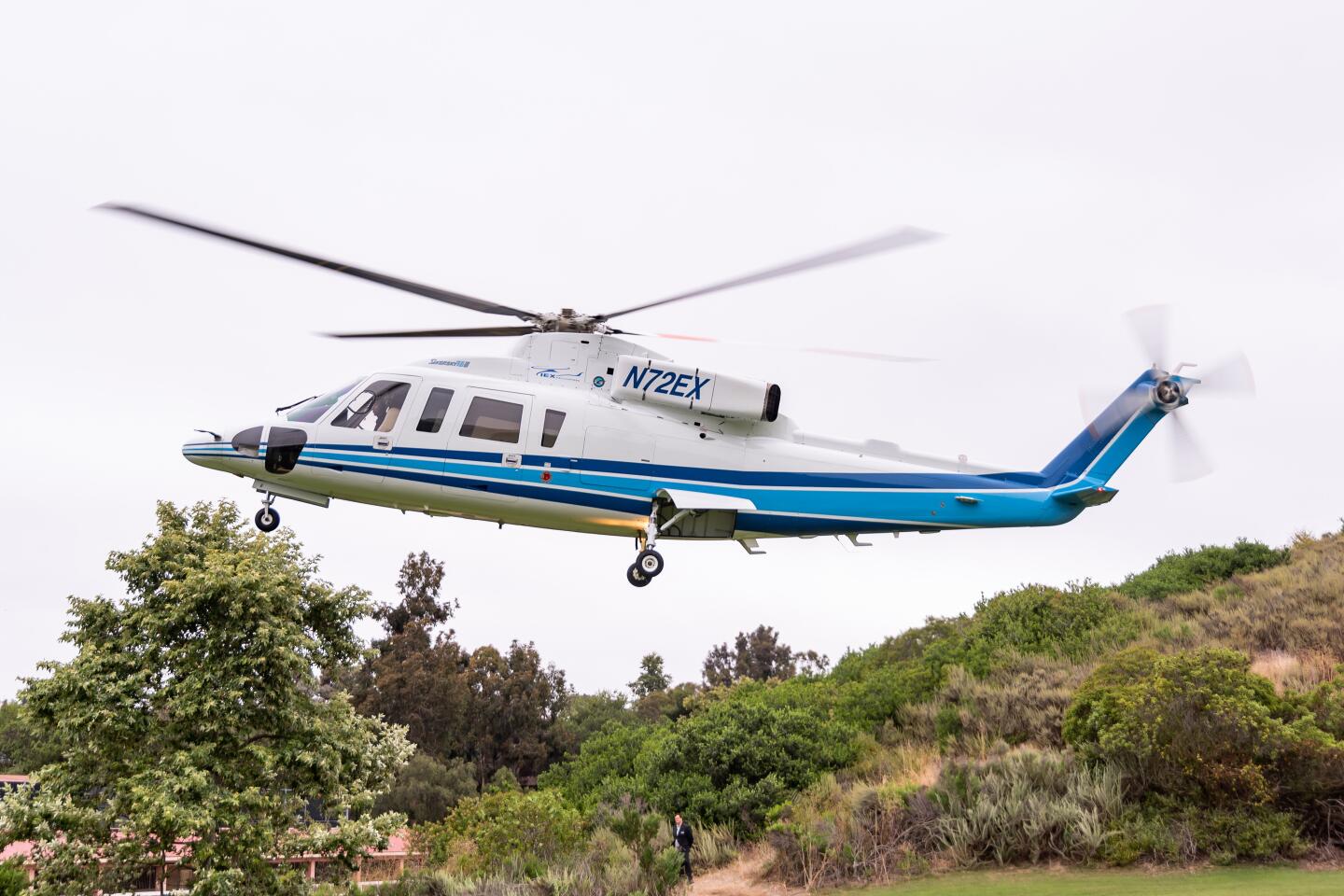
Kurt Deetz, a former pilot for Island Express, told the Los Angeles Times he flew Bryant from 2014 to 2016, almost always in the same chopper — N72EX, “Two Echo X-Ray.” Bryant favored the model, which is preferred by celebrities for its comfortable interior and solid safety record, Deetz said. When Bryant retired from the NBA in 2016, he flew out of downtown Los Angeles in the same helicopter, wrapped in a gray-and-black paint scheme with his Mamba emblem on the side, Deetz said.
In the wake of the Kobe Bryant helicopter crash, a Los Angeles congressman is calling on the Federal Aviation Administration to beef up chopper safety regulations by requiring a terrain alarm system.
Deetz said that, after he left the company, Zaboyan became Bryant’s go-to pilot. The company said he was “our chief pilot” and had been with Island Express for 10 years, logging more than 8,000 flight hours.
Audio recordings indicate Zobayan opted not to rely on his instruments. Deetz and other pilots interviewed for this article say that such a decision is not uncommon even on cloudy days, as long as they can see and track major roads on the ground.
“Using instruments, you’re at the mercy of controllers, and as busy as Los Angeles airspace is, you’re likely to get routed all over the place,” said Brian Beker, a longtime fixed-wing pilot who flew out of Santa Monica for years. “In L.A., it’s a notorious headache.”
Kobe Bryant’s helicopter feels like a limousine but had strong safety record, NBA star’s former pilot said
Flight tracking records show Zobayan followed the helicopter’s normal course up the Interstate 5 corridor through Orange County and southeast Los Angeles County. But he deviated from this traditional path, which turned west over the Santa Monica Mountains. The marine layer socked in the mountains.
If the weather was poor, Deetz said, Bryant’s pilot would take one of two routes: over the Cahuenga Pass or continue up the freeway over the Los Angeles Zoo. When visibility was especially poor, he would fly over the zoo because it was at a lower elevation than the Cahuenga Pass.
Zobayan passed over the zoo Sunday morning and requested to enter the controlled airspace around Burbank using “Special VFR” clearance because weather conditions had deteriorated to less than the minimum visibility for regular visual flying. At that point, pilots landing at Burbank and Van Nuys airports were required to fly using instruments. Zobayan was directed to “hold” while airport traffic cleared.
In her first public statement since Kobe Bryant’s death, Lakers controlling owner Jeanie Buss expresses what the NBA legend meant to her and her family.
To the west, a cold front was moving through Ventura County, said climatologist Bill Patzert, driving fog off the Pacific over the Santa Monica Mountains.
The conditions were bad enough that the Los Angeles Police Department’s Air Support Division grounded its helicopters and didn’t fly until later in the afternoon, department spokesman Josh Rubenstein said.
“The weather situation did not meet our minimum standards for flying,” Rubenstein said. The fog “was enough that we were not flying.” LAPD’s flight minimums are two miles of visibility and an 800-foot cloud ceiling, he said. The L.A. County Sheriff’s Department made a similar assessment about the fog and had no helicopters in the air Sunday morning “basically because of the weather,” L.A. County Sheriff Alex Villanueva said.
Zobayan circled for 12 minutes until his request was granted and he was routed to the north end of the Valley, giving a wide berth to the airports.
To continue was a critical decision. He could have anticipated the risky weather ahead and landed at Burbank. But pilots can be reluctant to call off a flight, Deetz said, especially with a VIP client. He said he’d done it — called his passenger an Uber or, in Bryant’s case, his private driver — but it’s not easy.
“Psychologically, that’s the hardest part,” Deetz said. “Biting the bullet and saying, ‘The weather’s crap, I have to turn back.’ It’s hard to accept the fact you can’t get the job done.”
Beker says decisions such as this are usually part of a “cascade of events” that lead to a crash.
Zobayan then traveled north toward Granada Hills, at one point advising that he was climbing “to avoid a cloud layer,” according to Jennifer Homendy, the member of the National Transportation Safety Board leading the investigation.
Tracking the last moments of Kobe Bryant’s helicopter
Flight records show he climbed from about 800 feet to 1,400 feet.
At 9:39 a.m., Zobayan received approval to turn southwest to meet and follow the 101 Freeway to his destination, the normal route on the north side of the Santa Monicas. At 9:42, he was back on the familiar route, heading into the more rugged terrain around Calabasas.
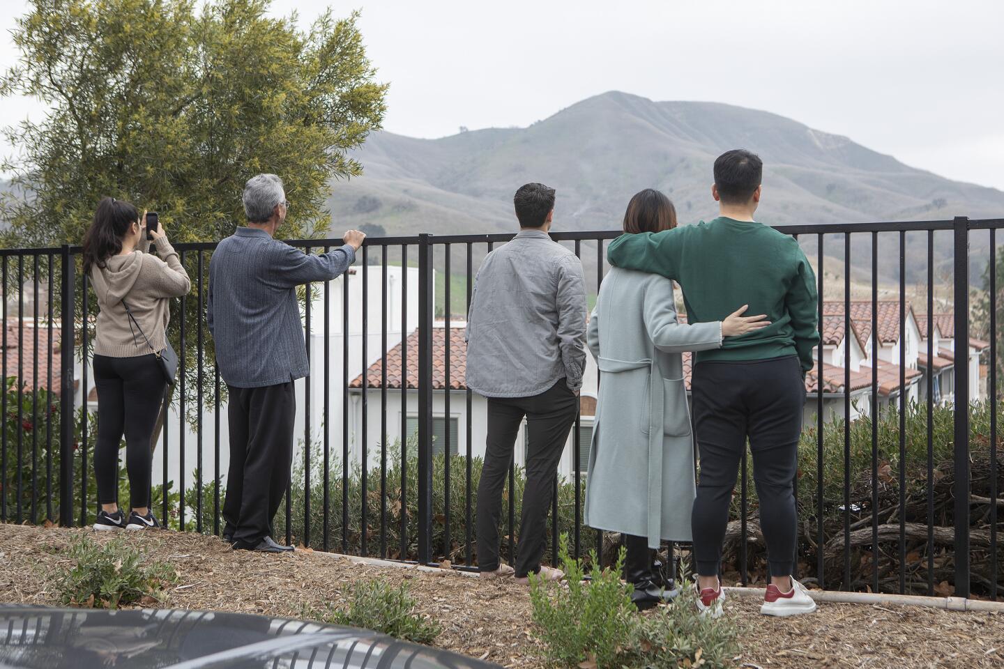
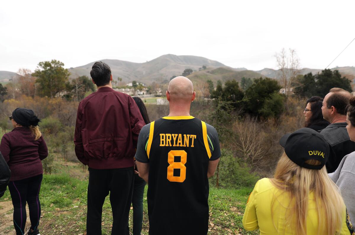
Residents said the area around Las Virgenes Road was covered in fog at the time. The little valley is effectively the upper end of Malibu Canyon, which climatologists say can channel marine moisture through the mountains.
Stephen LaDochy, a climatology professor at Cal State L.A. who has studied marine layer movements, says that conditions can change abruptly in the uneven Southern California terrain.
“You have competing things going on at the same time,” he said. “The inversion layer is heavier, drier air sinking down, while the marine layer is pushing up. It is a battle zone between the uplift and the sinking motion of the marine layer.”
The Federal Aviation Administration has accepted only 75% of safety recommendations made by the National Transportation Safety Board.
Beker, the pilot, said clouds will also roll right over the mountaintops, creating a swell. He said Zobayan appeared to have been flying just above the cloud tops, which can be disorienting. “It’s really easy to get tricked,” he said. “You don’t have a horizon.”
He said at this angle it would have been hard to notice any upward curve of the cloud deck where it rode over the mountains. “Suddenly you’re in the cloud.”
Zobayan climbed from 1,250 feet to 2,125 feet, slowing down to 126 mph. Then he veered south and plummeted.
Aviation consultant William Lawrence, a retired Marine Corps colonel and helicopter test pilot and instructor, said the S-76B’s steep climb and rapid descent probably was triggered by the pilot’s sudden realization that he was too close to the ground.
In addition to a warning from air traffic control that he was too low to be seen on radar, the pilot also might have been alerted by a ground proximity warning system telling him to pull up, Lawrence said.
Deetz said the aircraft was outfitted with such a device. It would squawk “Terrain! Terrain! Terrain!” in a high-pitched voice if the craft came close to the ground or an obstacle. He said the alert was triggered so often by high-rise buildings that pilots sometimes shut off the audio.
As the helicopter rapidly rose into the clouds in a “zoom climb,” Lawrence said, the pilot could have become spatially disoriented as he peered from the helicopter to get his bearings, a condition involving the inner ear that can result in the inability to tell up from down. In some instances, pilots trying to level their aircraft have wound up “punching the nose over” and sending it plummeting into the ground.
“Spatial disorientation can happen really, really quick,” said Lawrence, a seasoned accident investigator, noting that pilots are trained to react by relying on their instrument readings.
“The only way you live is to pay attention to your instruments,” Lawrence said.
It’s also possible that the helicopter experienced a mechanical malfunction that resulted in the pilot’s loss of control, he said.
Jerry Kocharian, 62, was standing outside the Church in the Canyon drinking coffee when he heard a helicopter flying unusually low and seeming to struggle.
“It wasn’t sounding right, and it was real low,” Kocharian said. “I saw it falling and spluttering. But it was hard to make out as it was so foggy.”
The helicopter vanished into the sheet of fog, then there was a boom and “a big fireball,” he said.
“No one could survive that.”
Times staff writers Richard Winton and James Rainey contributed to this report.
More to Read
Sign up for Essential California
The most important California stories and recommendations in your inbox every morning.
You may occasionally receive promotional content from the Los Angeles Times.
