Papyrus text brings past to life again
- Share via
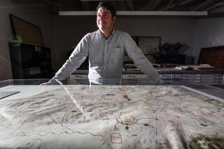
ROME — It served first as a notebook for ancient painters and then as part of a mummy’s wrapping. Now, a 1st century BC parchment believed to contain the earliest cartography of the Greek-Roman era will be on display beginning next month in the northern city of Turin.
The Papyrus of Artemidorus tells of more than 2,000 years of art and culture. Its story begins about the mid-1st century BC, when a copyist in Alexandria, Egypt, began working on blank parchment to reproduce the second of 11 books by Greek geographer Artemidorus of Ephesus.
“This papyrus is returning the most ancient geographic map of the classical world and helps write new pages of ancient history,” said Claudio Gallazzi, a professor at the University of Milan who has studied the parchment since the 1990s.
During the transcription, the copyist left room to insert drawings of maps and later took it to a painter’s studio to have them drawn.
“The painter must have drawn the wrong map and as soon as he realized it, he stopped [working],” said Gallazzi. “By then, the papyrus was ruined and it was useless to go on.”
A few years later, scholars began using the blank spaces on the nearly 10-foot-long parchment for rough drafts and to keep a catalog of drawings for clients. The drawings include pictures of real animals, such as giraffes, tigers and pelicans, as well as mythical ones, such as the griffin, Gallazzi said.
The parchment surfaced again in the Nile Valley, where it was used as a wrapping for a mummy, then lay in the ground for 1,800 years, Gallazzi said.
The papyrus -- which was bought by a foundation for $3.37 million -- will be put on display at Turin’s Bricherasio Palace starting Feb. 8 for three months.
Organizers said they plan to lend it to other museums in Europe and the United States.
More to Read
Sign up for Essential California
The most important California stories and recommendations in your inbox every morning.
You may occasionally receive promotional content from the Los Angeles Times.


