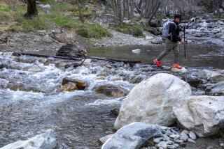
New maps for hikes on Pacific Crest Trail
- Share via
THE U.S. Forest Service has released a new map of the Southern California portion of the Pacific Crest Trail -- the first of 10 that will cover the entire 2,650-mile route.
The richly detailed maps, printed on tear-resistant and waterproof synthetic paper, fold up small and contain topographic and geographic coordinates, trail elevations and details about access roads, trail heads and feeder trails.
Previously, hikers needed multiple maps to get the information contained in one new map.
The first map, covering 250 trail miles from the Mexico border to north of Big Bear Lake, sells for $8 and may be obtained by calling (928) 443-8285 or at www.fs.fed.us/recreation/nationalforeststore.
Scott Doggett
More to Read
Sign up for The Wild
We’ll help you find the best places to hike, bike and run, as well as the perfect silent spots for meditation and yoga.
You may occasionally receive promotional content from the Los Angeles Times.


